Welcome to the Rudloe and environs website.
Here you will find news, articles and photos of an area that straddles the Cotswold Area of Outstanding Natural Beauty in north-west Wiltshire.
Contributions in the form of articles or photos are welcome. Even those with completely contrary views to mine!
Thanks to the website builder 1&1 and Rob Brown for the original idea.
Rudloescene now, in January 2014, has a sister, academic rather than anarchic, website about Box history here: http://www.boxpeopleandplaces.co.uk/
It contains thoroughly professional, well-researched articles about Box and its people.
Contact rudloescene through the 'Contact' page.
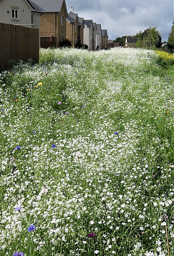
15th September 2021 and we set off on a circular walk that takes in The Ridge, Monk's Park, Corsham, Pickwick, Collett's Bottom and Lower Rudloe. The title picture, at the start of the walk, shows a panoply of stitchwort on the Bradford Road at the Dickens Gate greenfield development. This is unusual as stitchwort is normally only seen in small clusters beneath hedgerows.
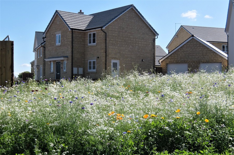 Another view of the stitchwort interspersed with other meadow flowers
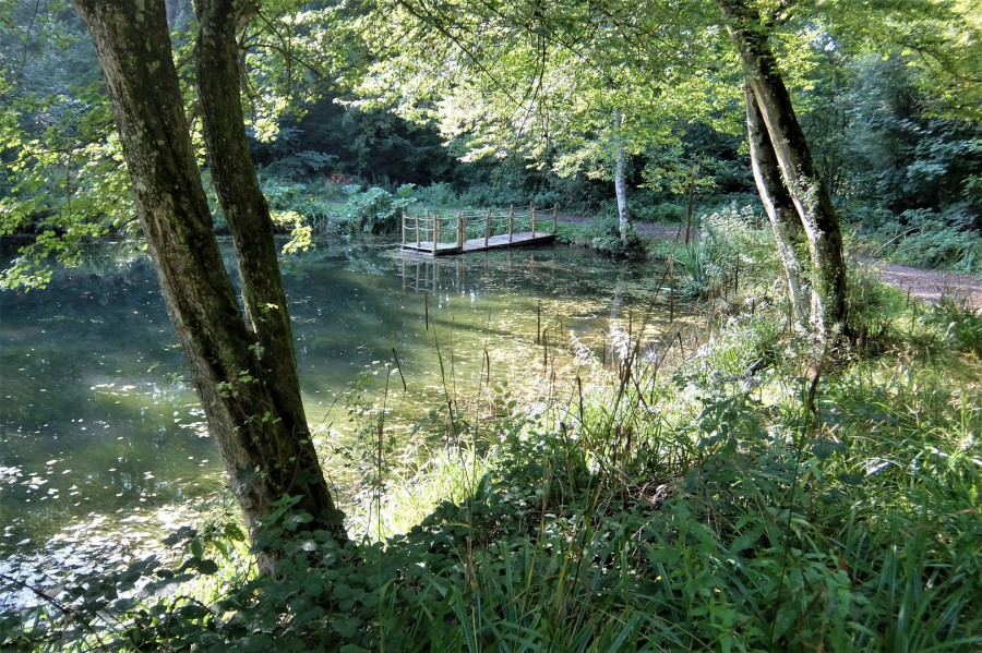
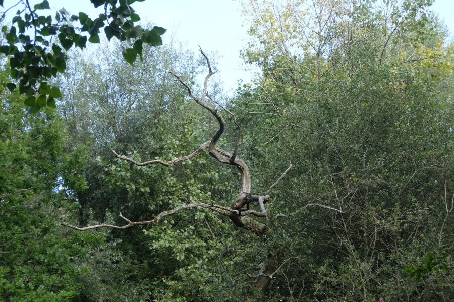 Woodland around Lower Pockeredge Lake
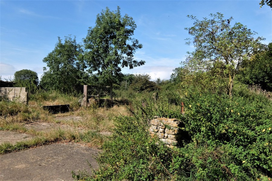 Cutting to the chase, we shift straight to the unnamed lane at The Ridge where lies Pond Close Farm and the site of a former piggery (I believe)
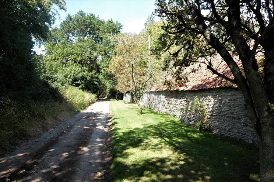 The unnamed lane at The Ridge and the outbuildings of Pond Close Farm
 Oak close to Pond Close Farm at The Ridge
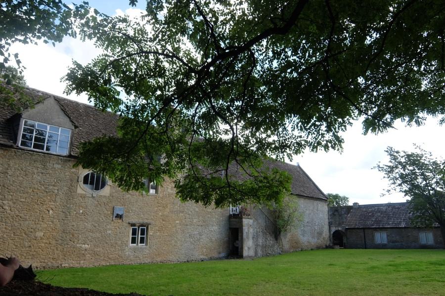 Substantial stable block at Monk's Park
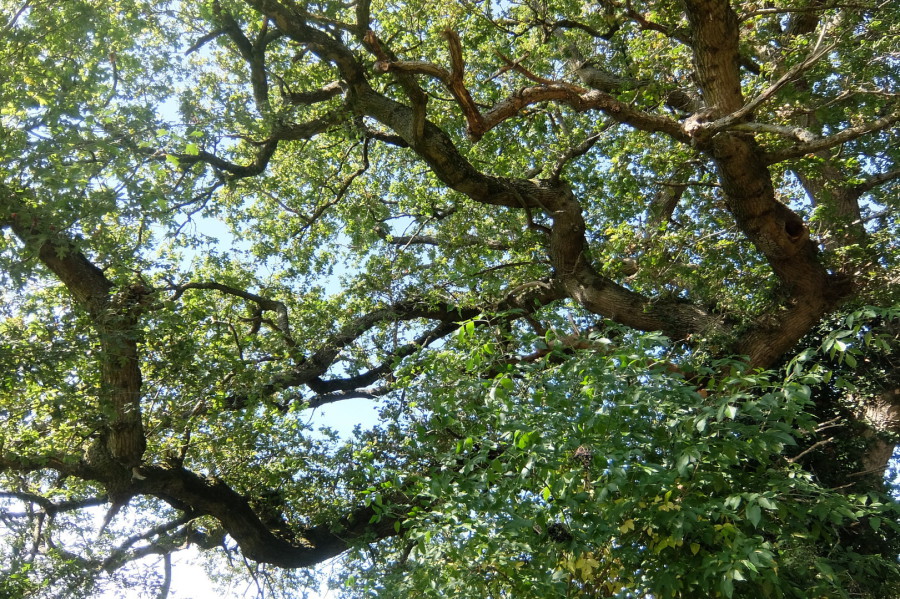
 Tree canopy at Monk's Park
 View from Monk's Park across the fields of Boyd's Farm (Gastard) and the Clay Vale to Oliver's Camp on the western escarpment of the Marlborough Downs
 Monk's House
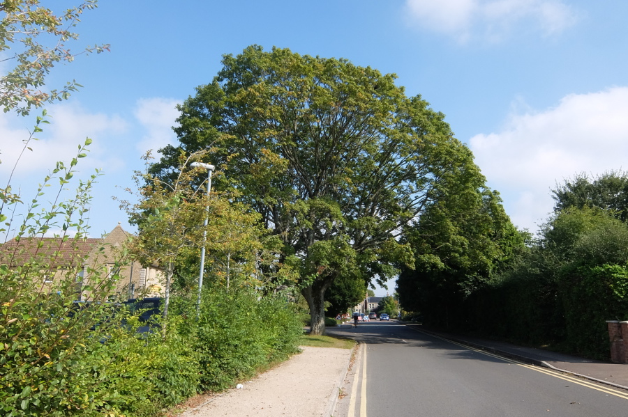 Maple in Beechfield Road close to The Porch surgery
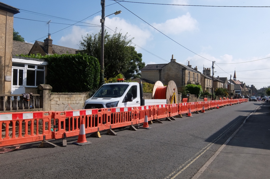 Fibre optic cables being laid in Pickwick by Avonline Networks on behalf of Gigaclear
 Acacia providing shade for Dickens Avenue flats
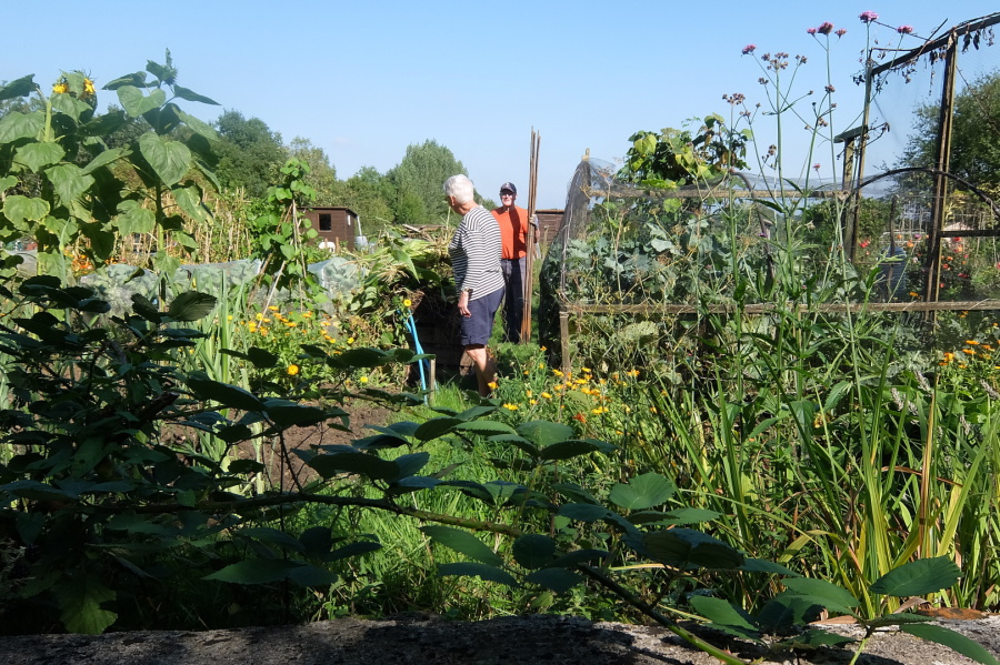 Pat and Dave Sharp at their Middlewick Lane allotment
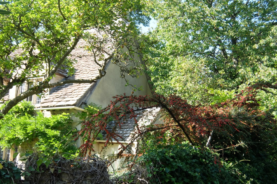 Garden greenery, including Wisteria and Cotoneaster, in Middlewick Lane
 Looks like a Laburnum at Hillsgreen Lodge in Middlewick Lane
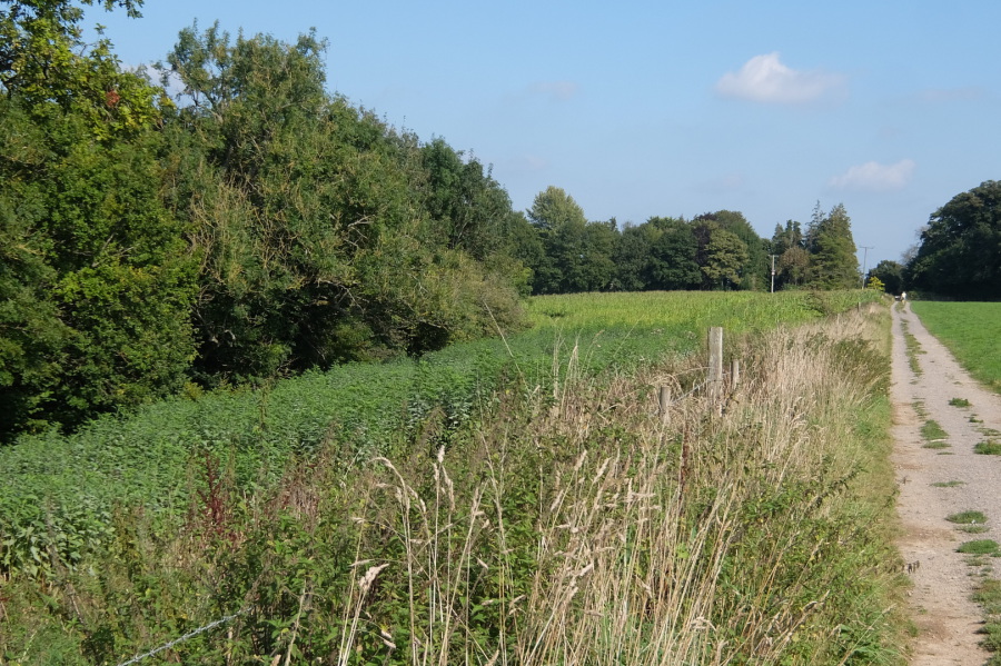 Brickers Barn Turnpike (Middlewick Lane on the OS map). Whilst this section is a public right of way, the whole lane could provide a much-needed cross-country route twixt the Cross Keys and Rudloe Firs. Note the 'plantation' on the left.
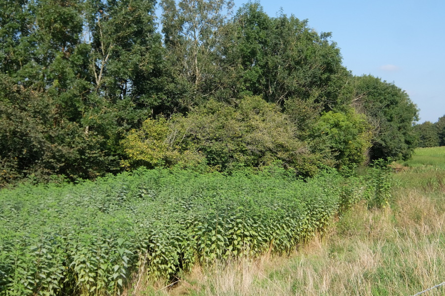 That 'plantation' looks a bit like nettles from a distance but closer examination reveals a different morphology. Using the app PictureThis to aid identification, its best guess was Jerusalem artichoke.
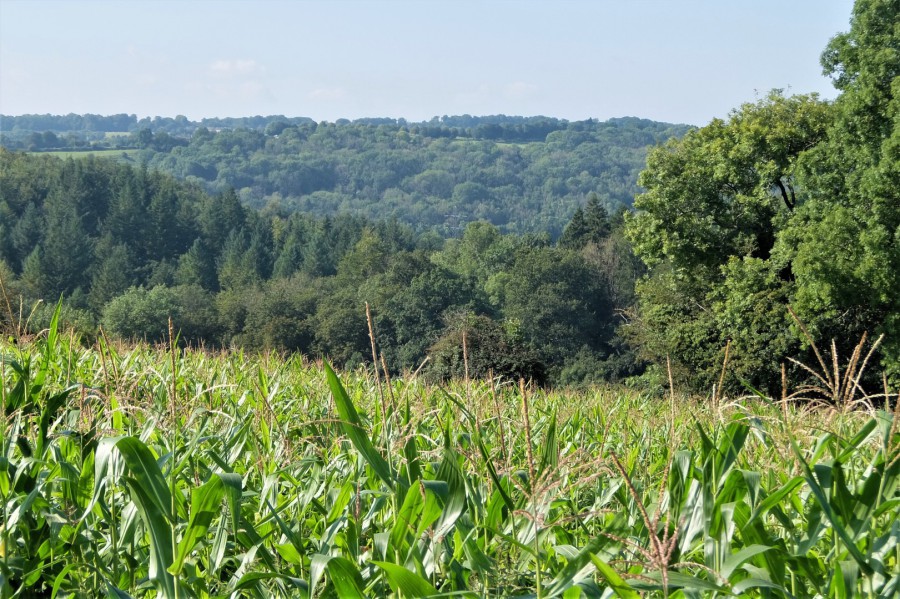 This should be clearer - maize right? This is the view from Brickers Barn Turnpike across Weavern woodland towards Colerne.
 We just saw Nick flying off in his chopper so he won't be down to sample the delights of Collett's Bottom Lake today
 Below the pier there is a culvert where the water drains to the By Brook (eventually)
 Collett's Bottom Lake
 Gunnera at Collett's Bottom Lake
 Reflections in Collett's Bottom Lake
 Heading home towards Lower Rudloe, here we have the view across the valley to Chez Robinson, Euridge Manor.