Welcome to the Rudloe and environs website.
Here you will find news, articles and photos of an area that straddles the Cotswold Area of Outstanding Natural Beauty in north-west Wiltshire.
Contributions in the form of articles or photos are welcome. Even those with completely contrary views to mine!
Thanks to the website builder 1&1 and Rob Brown for the original idea.
Rudloescene now, in January 2014, has a sister, academic rather than anarchic, website about Box history here: http://www.boxpeopleandplaces.co.uk/
It contains thoroughly professional, well-researched articles about Box and its people.
Contact rudloescene through the 'Contact' page.
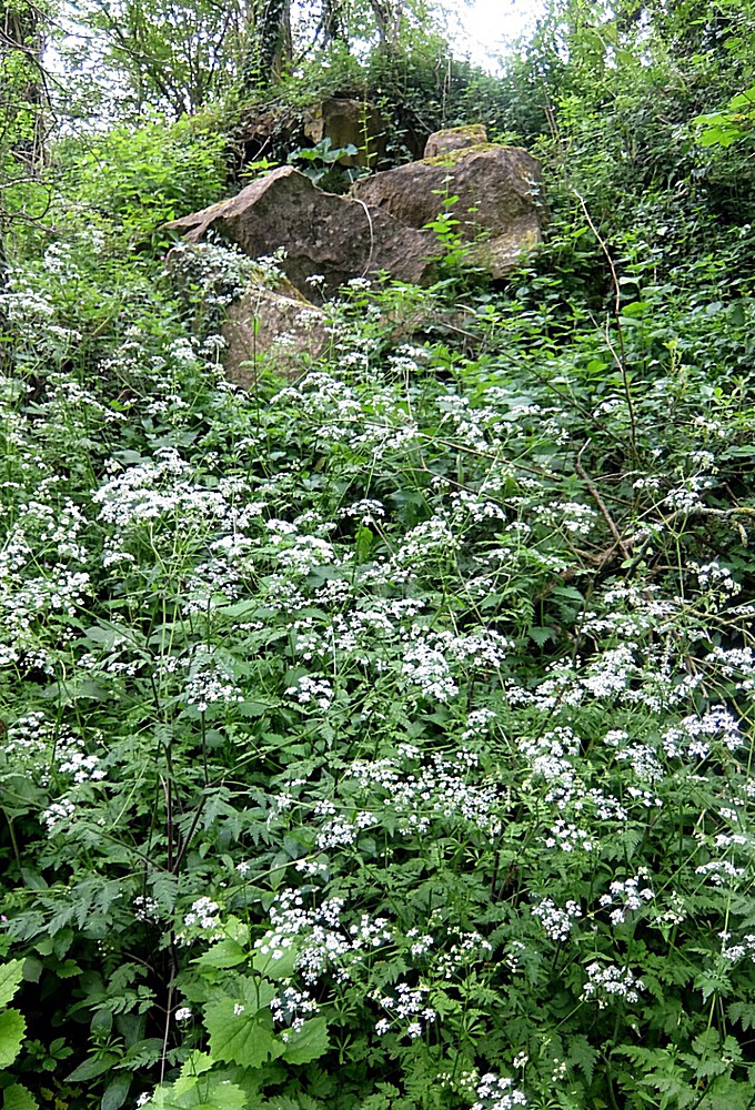
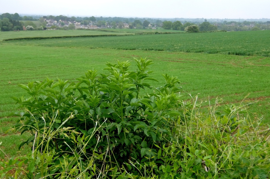
The first Sunday in May (3rd) brought an overcast day and relatively dull photographs but nil desperandum, we will try our best. This walk took in Pockeridge Drive, Potley, Leafield, Elley Green, The Ridge, Eastlays Quarry, and the track to Whitley (crossing the Roman road) returning via 'the Piggy' and Neston. The title photograph shows rocks and cow parsley at the site of the old (now disused) Park Lane Quarry (there is a new one to the east of Neston) to the west of Eastlays Quarry (also disused and now a giant wine cellar).
 We're off and in the clover down Skynet Drive
 Cottonwood (poplar) seeds line Hudswell Lane. What are the cottonwoods "whisperin' above" (Debbie Reynolds)?
 Ivy in the woodland twixt Hudswell and Pockeredge Drive. Ivy is traditionally brought into homes to drive out evil spirits - well, here I am.
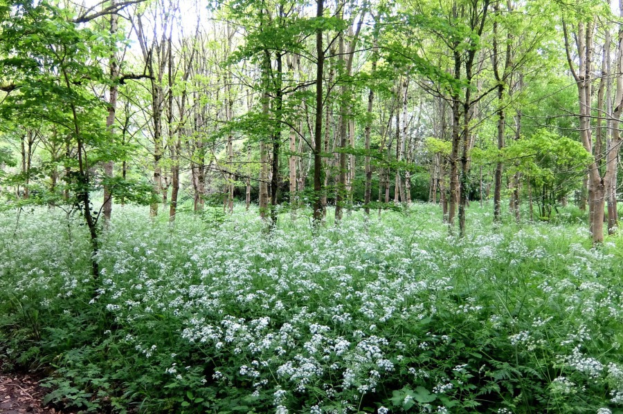
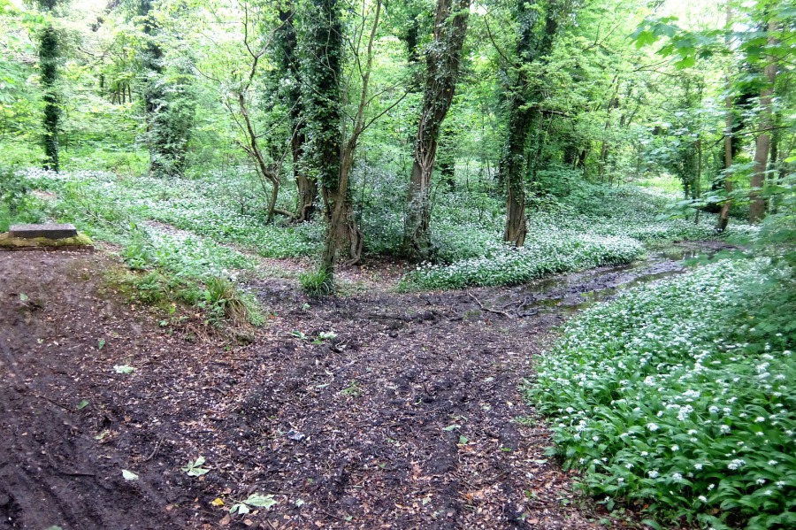 Wild garlic almost in full flower in Pockeredge Drive on 3rd May 2020. The first or second week of May is usually when it's at its best.
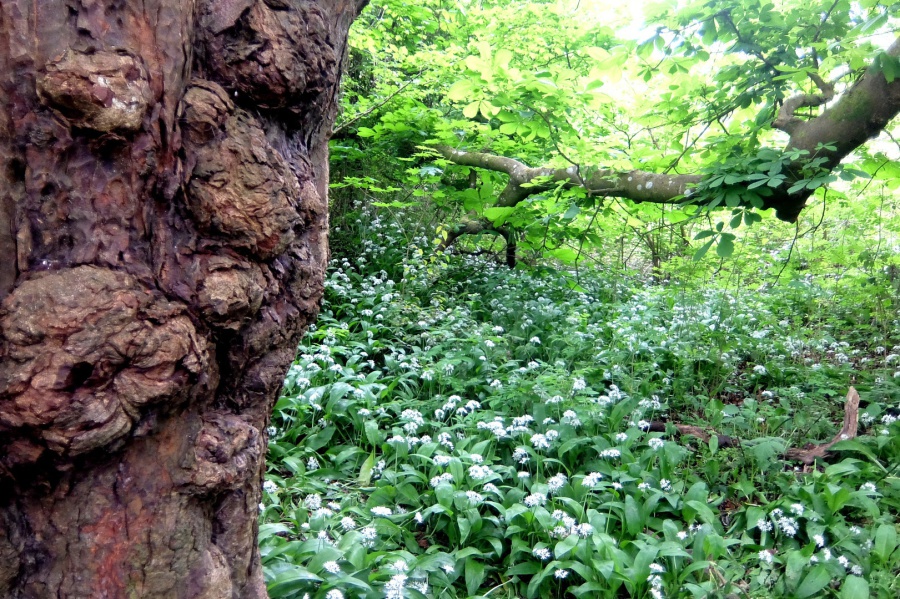 Burrs on an old horse chestnut and wild garlic in Pockeredge Drive. Corsham craftsman Bill Hadfield used to make unusual chairs from fallen, burred, hardwood trees. Unfortunately, Bill is no longer with us.
 The Batters at left, Pockeredge Drive at right and the cutting leading to the eastern portal of Box Tunnel
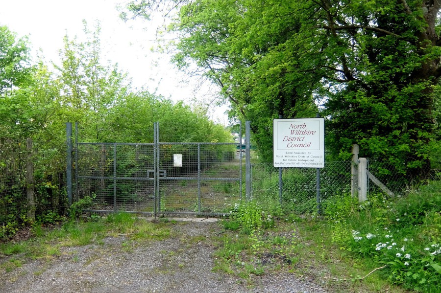 On the south side of the railway at the site of Corsham Station ... "Land acquired by North Wiltshire District Council ... for the benefit of the community". Eleven years since the demise of NWDC and the community is yet to see any benefit.
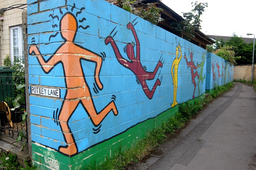 Muriel in a Potley alley open to interpretation. Yellow man looks puzzled, perhaps by maroon man falling to earth.
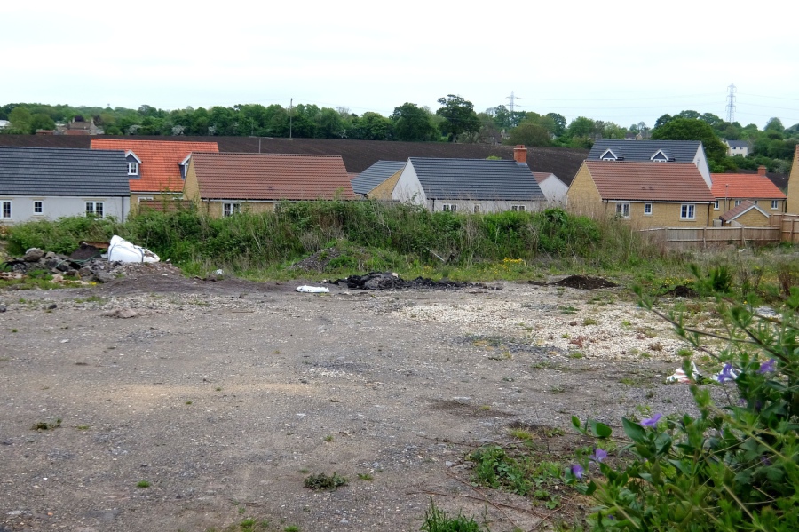 'Corsham Rise' at Potley appears to be a misnomer, Corsham Fall would be more appropriate. As with all (just about) lands to the south of Corsham, this was (is still?) part of the Fuller Estate whose planning BS for this site included an almshouse!
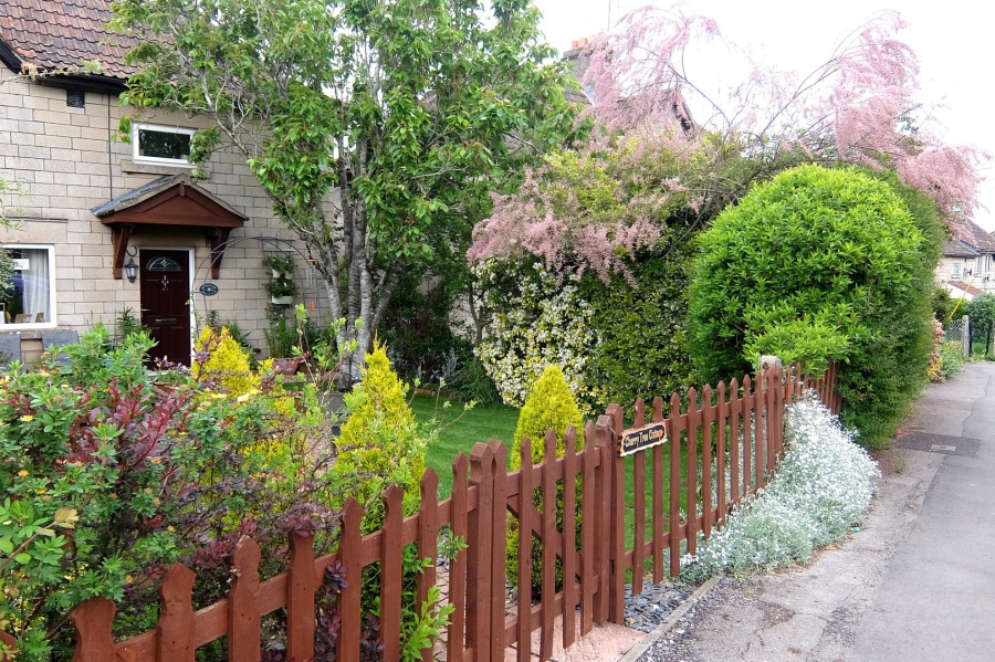 A country cottage conversion at Potley includes a tamarisk (genus Tamarix, salt cedar - pink flowers) and a cherry tree - Cherry Tree Cottage
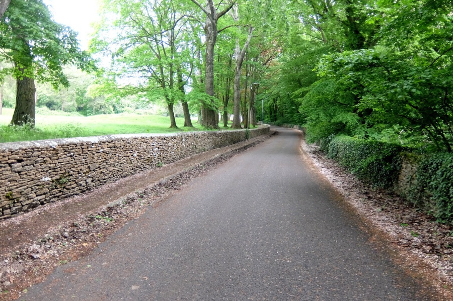
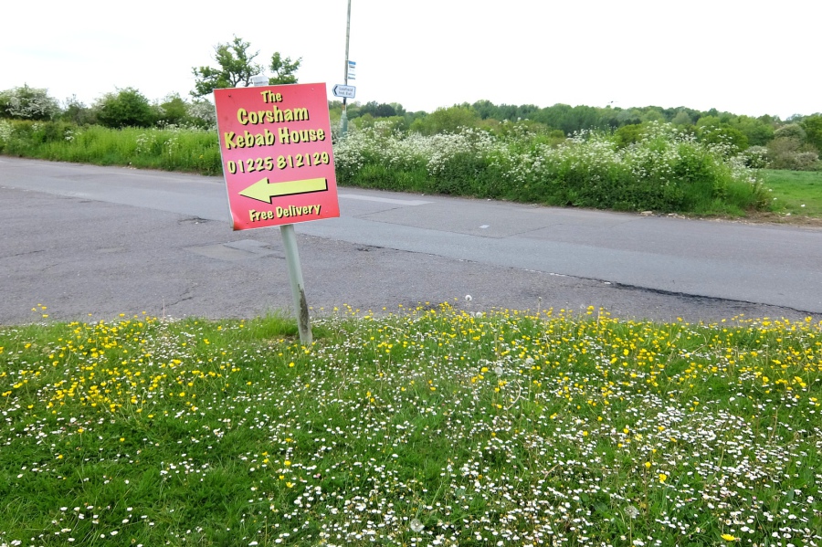 In a Wiltshire country lane
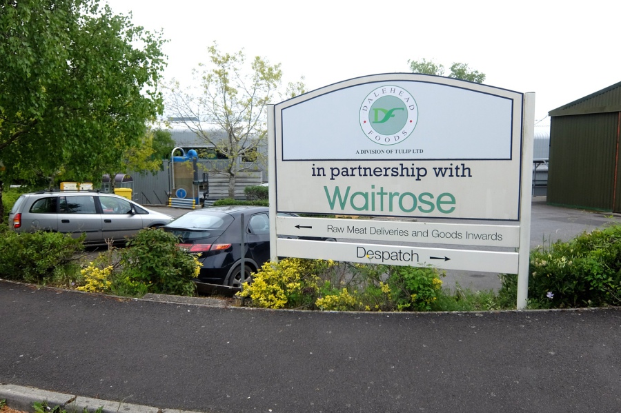 Dalehead Foods (formerly Hygrade), a division of Tulip Ltd owned by American company Pilgrim's Pride purchased by Brazilian company JBS, the world's largest meat processor (36 million chickens per week). A grand case for vegetarianism.
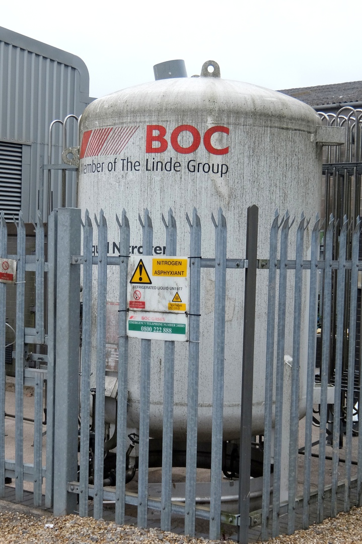 In case the reader hasn't realised, we are on Leafield Trading Estate. We find a British Oxygen Company tank and discover that BOC is a member of the Linde Group, German of course.
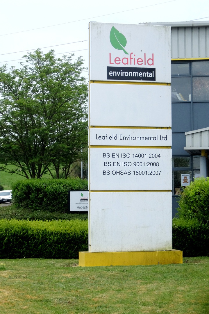 What could be more local than Leafield? Leafield Environmental here is majority-owned by HarbourVest, a private equity investment organisation based in Boston, USA. Cheers!
I mentioned BS (bullshit, in case of doubt) earlier. In his book Media Control (subtitled 'The Spectacular Achievements of Propaganda'), Noam Chomsky talks of propaganda and of creating a slogan that nobody is going to be against using the US example "Support our troops" which is something that nobody (almost) is going to be against. His point is that such slogans are meaningless and (deliberately) divert attention from a question that does mean something. So what did "Take back control" and "Release Britain's potential" mean?
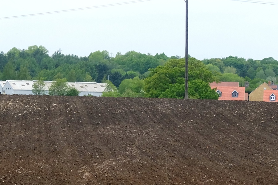 The eastern edge of Leafield Trading Estate and the roofs of Corsham Fall (certainly not risen) from Elley Green. Can anyone spot the Almshouse?
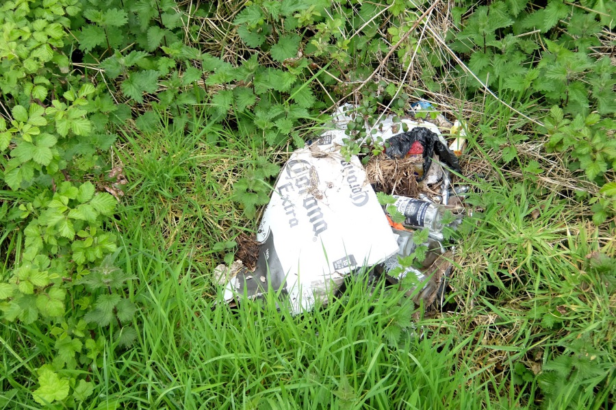 On right-of-way CORM39 twixt Lypiatt and The Ridge, we find the archetypal image of the English countryside - this is the predecessor of the current Corona virus and has been infecting us for many years with no sign of a cure
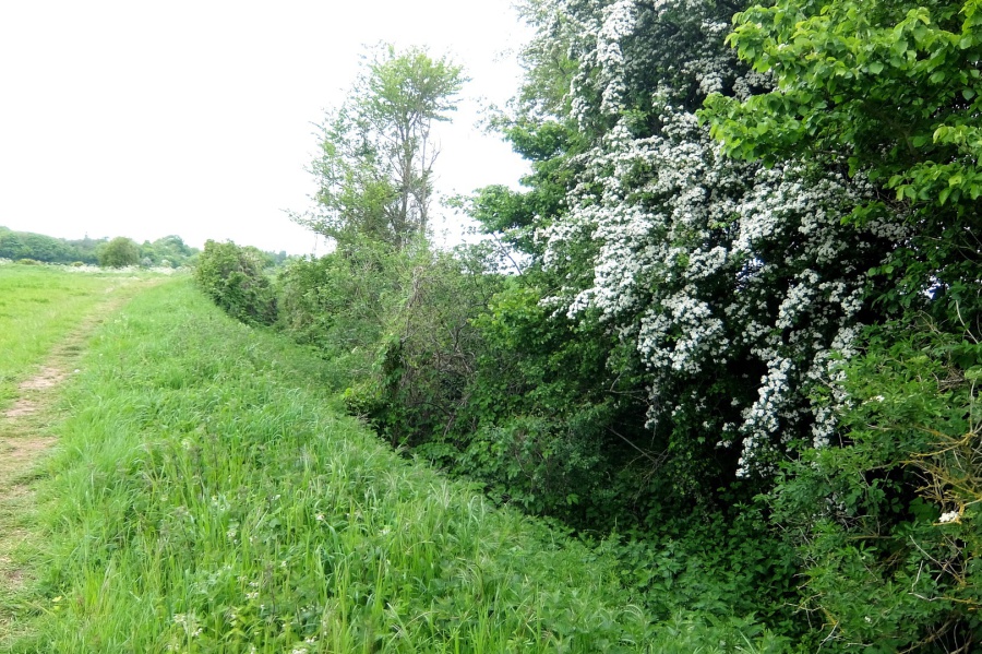
 This is more like it - also on CORM39, dry stone wall, nettles and elderberry - natural sources of cures, wine, soup etc
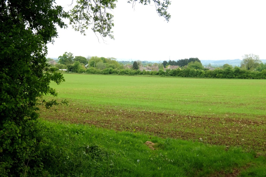 Still on CORM39 twixt Lypiatt and The Ridge, looking back towards the southern reaches of Corsham
 And now looking to the east, across Monks Lane towards Bowden Hill
 Cow parsley and an oak and ash plantation in Green Road, in the vicinity of Monk's Park and The Ridge
 The gated road between Green Road and Eastlays Quarry (Octavian) has been cleared of surface vegetation
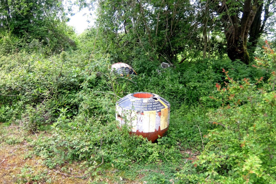 Bloody weird things to find in the Wiltshire countryside - SOS buoys (could be released by a sunken submarine). Inscription reads "SOS SOS FINDER INFORM NAVY COASTGUARD OR POLICE DO NOT SECURE TO OR TOUCH"
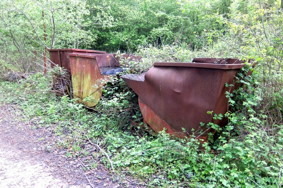 From emergency buoys to giant buckets in the vicinity of Eastlays Quarry
 Looking east from Eastlays Quarry towards Bowden Hill and the Marlborough Downs
 Lots of wild strawberries in the lanes surrounding Eastlays Quarry
 Old tramlines cross an Eastlays Quarry lane
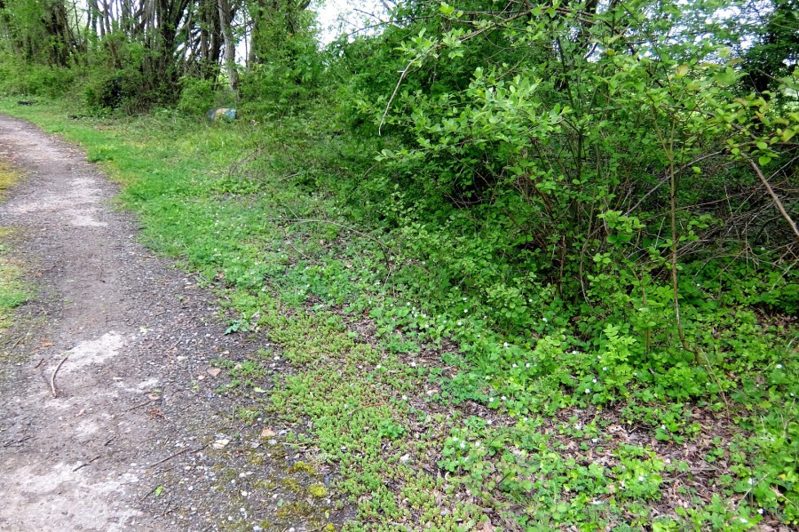
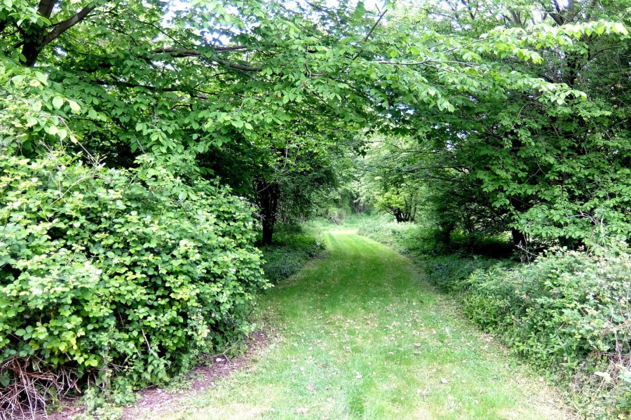 This green lane is well maintained for access to ...
 ... an old Eastlays Quarry air shaft (one of) - see https://www.mcra.org.uk/registry/sitedetails.php?id=1561 and ...
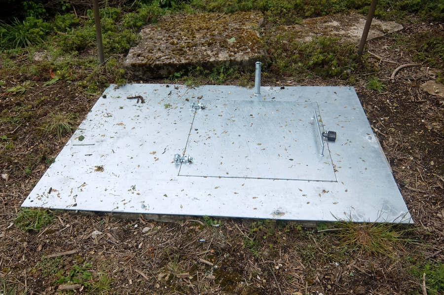 ... what looks like a current emergency exit (maybe) although the hatch is not all that big and it ain't much use with a padlock on the outside
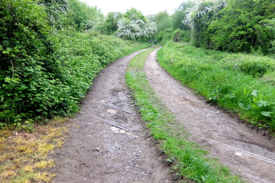
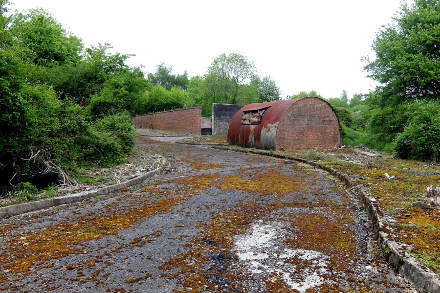 Old road and structures at Eastlays Quarry
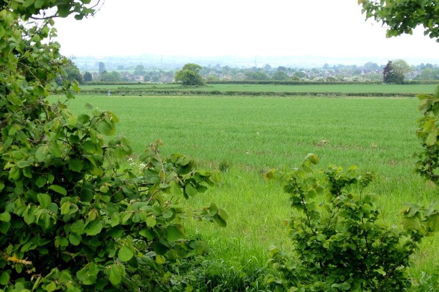 The view south-east from Eastlays Quarry
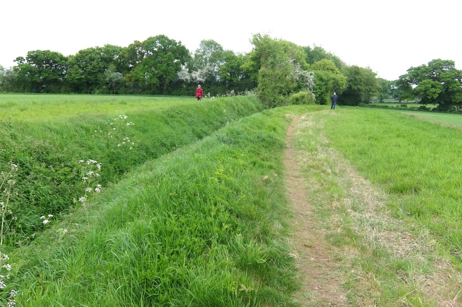 An enormous man-made ditch which runs south from Eastlays Quarry to a natural stream - see https://www.mcra.org.uk/registry/sitedetails.php?id=1794. The figures stand close to a point where a Roman road crossed from east to west.
 Another view of that ditch, looking north towards the quarry. In this wooded area, it flows into a natural stream (see later gallery picture).
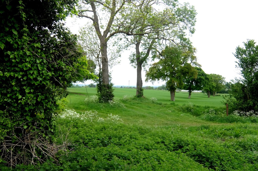 Looking east from the junction of rights of way MELW68, 69 and 70. The lands here, almost as far as the eye can see, are part of the Fuller Estate.
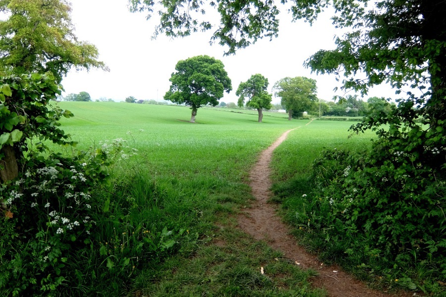 Still at the junction of the three rights of way, looking along MELW70
 Now on MELW69 heading towards Neston and about to join the track of the old Roman road which morphs into the Ridgeway and the Wansdyke to the south-east of Calne near Morgan's Hill (and to the west, runs to Bath)
 Looking south, across Atworth towards Salisbury Plain, from the Roman road section of MELW69
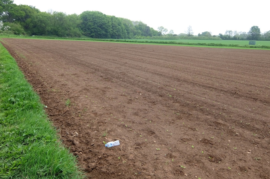
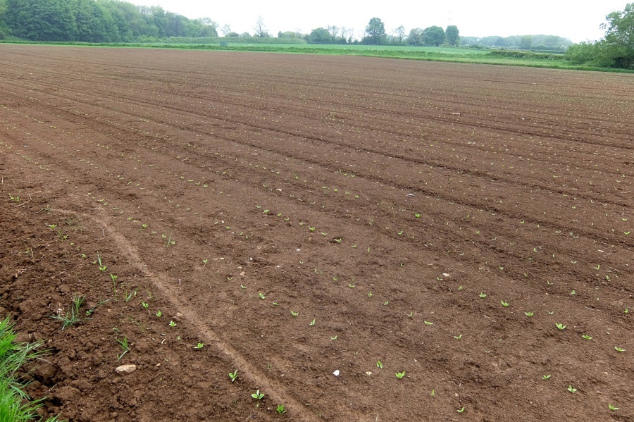 Adjacent to MELW69, it will be interesting to see what becomes of these seedlings. Mangold wurzels?
 There's always one
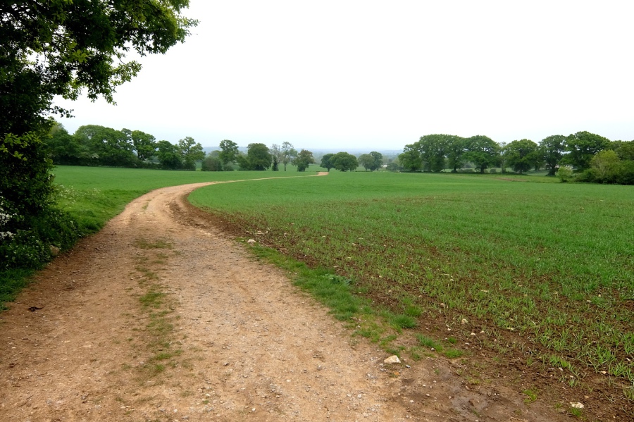
 Looking back down MELW69 towards Melksham and Salisbury Plain
 Earthworks in the vicinity of the disused Park Lane Quarry
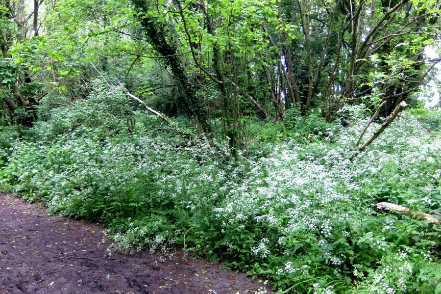 Cow parsley at the disused Park Lane Quarry
 The site of an incident which happened so quickly that it wasn't possible to photograph. Two deer came charging across this wall at speed and were so shocked by our presence that one returned whence it came; the other sped off down 'the Piggy'
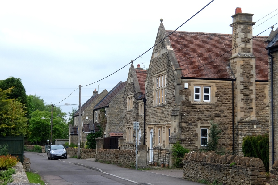
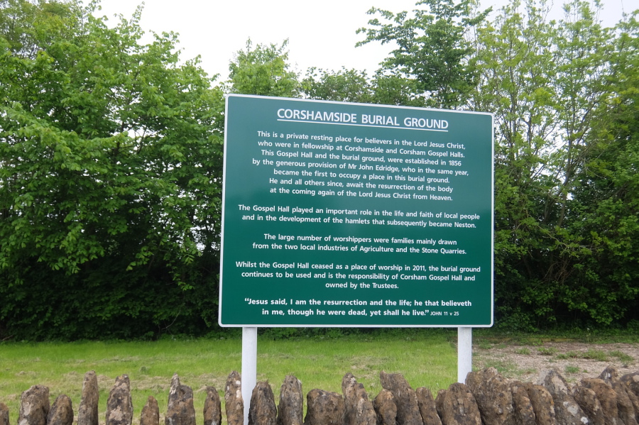 In Chapel Lane, Neston and a bit of local history
 Weigela and cottages adjacent to the old Neston Post Office at Locks Cross
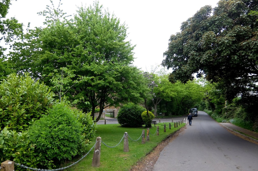 Lots of greenery in the triangle at the south end of Church Rise in Neston
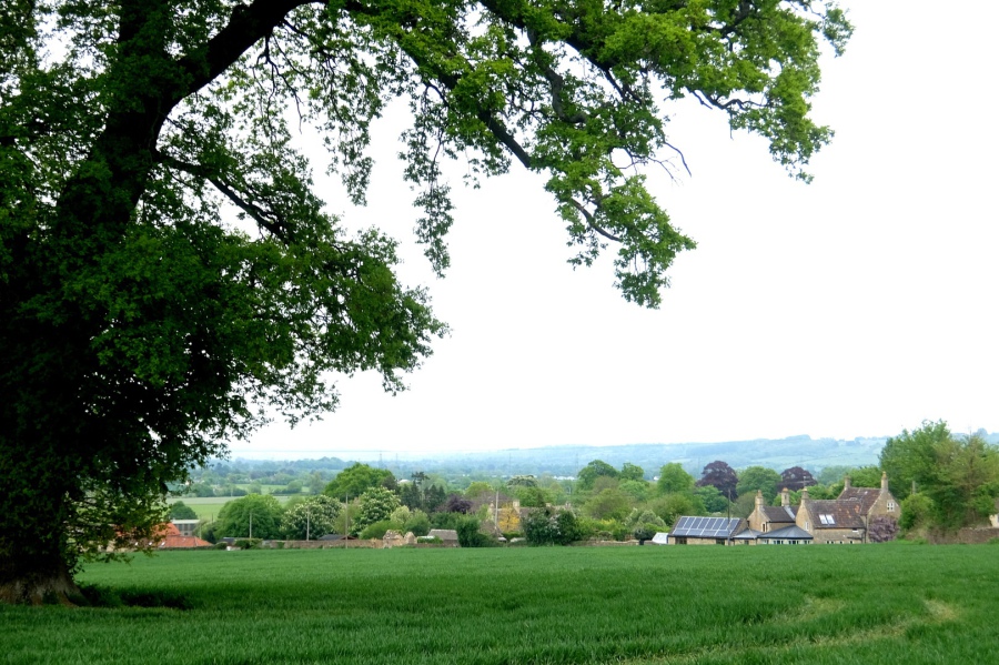
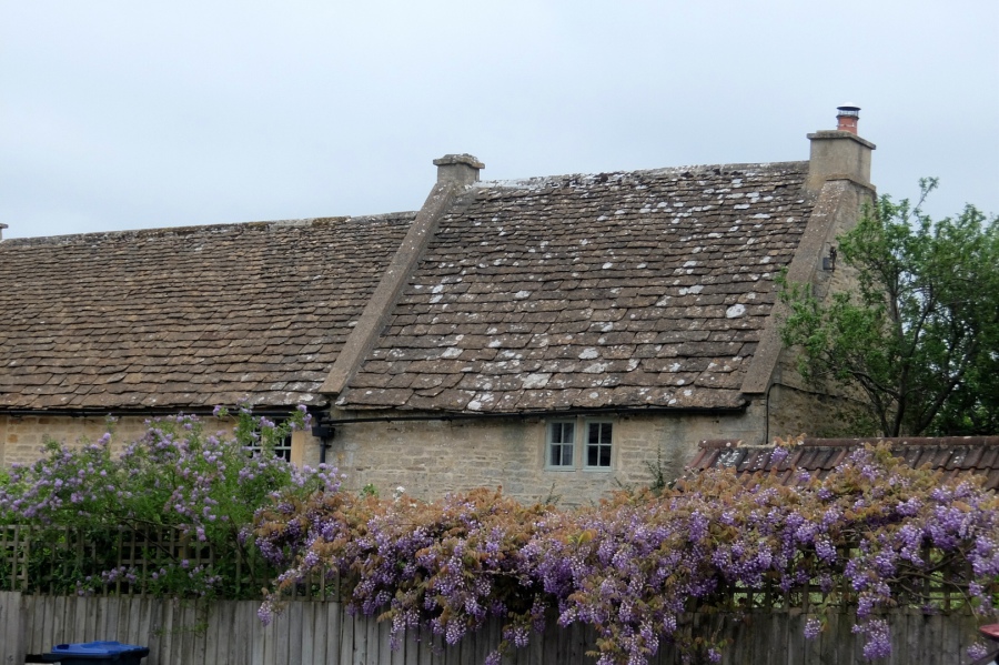 Wisteria and Cotswold stone roofs behind the Neston Country Inn (formerly the Carpenters Arms)
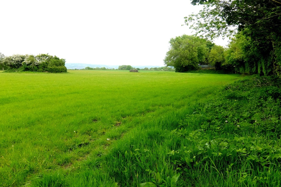
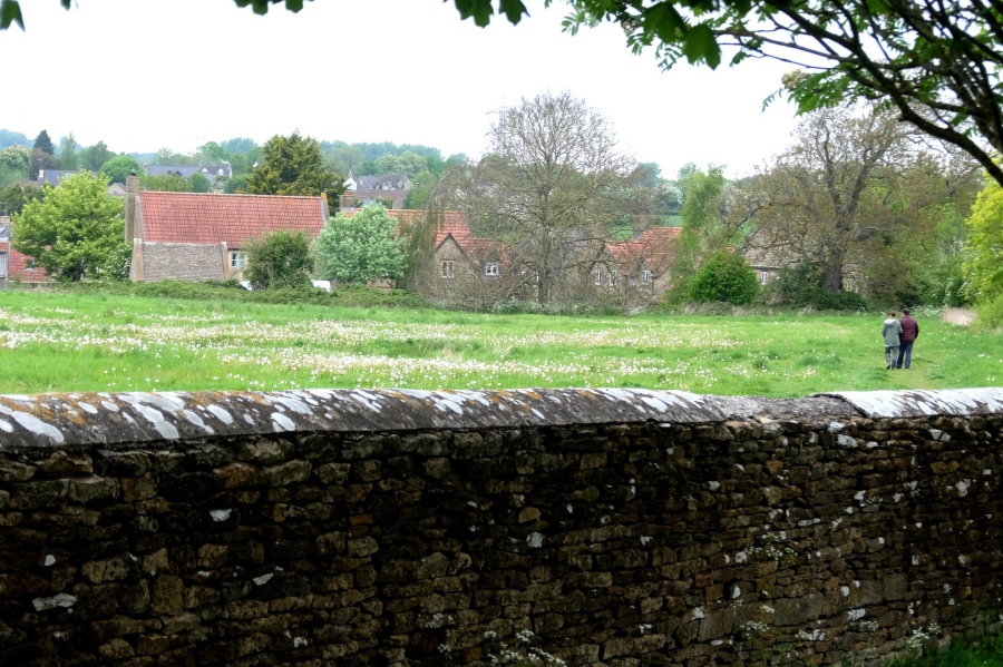 An early-evening stroll in the fields near Overmoor Farm, Neston
 Those were the days ... the old Neston Club in Pool Green. Chippenham Sunday League football on the mountainside pitch and a few pints.


 across Atworth to Salisbury Plain")


