Welcome to the Rudloe and environs website.
Here you will find news, articles and photos of an area that straddles the Cotswold Area of Outstanding Natural Beauty in north-west Wiltshire.
Contributions in the form of articles or photos are welcome. Even those with completely contrary views to mine!
Thanks to the website builder 1&1 and Rob Brown for the original idea.
Rudloescene now, in January 2014, has a sister, academic rather than anarchic, website about Box history here: http://www.boxpeopleandplaces.co.uk/
It contains thoroughly professional, well-researched articles about Box and its people.
Contact rudloescene through the 'Contact' page.
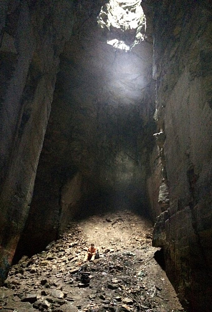
The Cathedral (reproduced without permission at the moment from www.28dayslater.co.uk), the location of which, above ground, is to the north-east of Tunnel Inn
25th February 2025 - the files associated wih planning application PL/2024/05384 (the 24-acre field opposite St Patrick's Church) include some interesting geological data and maps from the Touchstone company. The map below shows the extent of historical and current 'mining' at Hartham Park Quarry. The reader will see that the western extent of historical quarrying comes to within approximately 25 metres of Long Close Avenue. The Touchstone report provides much technical information on the geology of the area but the straightforward explanation as to why mining did not extend further west, under Rudloe Estate, was given to me by the late, much-missed, David Pollard (the former owner of the quarry and author of the definitive work Digging Bath Stone, A Quarry and Transport History) who said in an email to me that "... the stone at the southern end of Rudloe is wedge bedded and broken, when digging the heading southwards to meet the proposed new entrance shaft the yield of saleable stone fell to nil, so I think it highly unlikely they will be digging stone south of the A4 road." I believe that the dig southwards (towards the B3109 Bradford Road) may be seen as a red 'finger' on the map below. This may be one of the reasons why the proposed Bradford Road slope shaft planning application (15/00712/WCM) was abandoned and replaced by the Rudloe Firs slope shaft application (19/07824/FUL).

The extent of Hartham Park Quarry is shown in the map above and delineated by the red line. It should be noted that the quarry is divided into regions delineated by blue lines. Each of these regions is given a number, shown in the map below, which designates the order in which quarrying will (or should be) undertaken.

There are three areas designated 2 (the next phases being mined or proposed to be) which are shown in light-brown, these are: the area of the mine entrance between Park Lane and Bradford Road, the area west towards Rudloe and the area of the current Pickwick workings. There is one area designated 3 shown in lighter brown, this is the area to the north of the A4 and east of the old RAF Rudloe Manor No 1 Site. The area designated 4 is at the northern limit of the quarry and is bounded (roughly) by the old Brickers Barn Turnpike with above-ground features including Pickwick Lodge Farm, Hillsgreen Lodge etc. Area 5 (light green) is under central Pickwick, area 6 (darker green) is east of Pickwick - surface features include Hartham Park Chapel and area 7 (mid-green) is to the east of the current mine entrance with surface features being the Park Lane Industrial Estate, Northleaze Mobile Home Park and Silman Close.
7th September 2015 - the extent of Clift Quarry. Below is one of a number of maps that may be found at imgur.com. I have reproduced it without permission at the moment as I can't find any contact details for Imgur. The extent of Clift Quarry is interesting - the reader may see that its northernmost branch extends under the entrance to Springfield Close, Clift Close, Highlands Close, Kidston Way, Portal Avenue, Trenchard Avenue and Park Avenue. Although I have seen another, much more detailed map (which, frustratingly, I cannot now find!) that indicated slightly less incursion under the Rudloe estates.
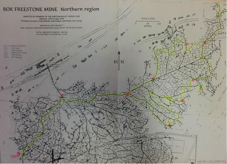
The reader will find a wealth of information about Box freestone mines at the Mendip Cave Registry and Archive here: Mendip Cave Registry Archive. A search under the 'Bibliography' tab for 'Box freestone' reveals scores of entries of books and articles on the subject. It is also worthwhile though to use different search 'keys' as these can produce different results; for example simply using 'tone' (the last part of 'Box freestone') will bring up a different set of results.