Welcome to the Rudloe and environs website.
Here you will find news, articles and photos of an area that straddles the Cotswold Area of Outstanding Natural Beauty in north-west Wiltshire.
Contributions in the form of articles or photos are welcome. Even those with completely contrary views to mine!
Thanks to the website builder 1&1 and Rob Brown for the original idea.
Rudloescene now, in January 2014, has a sister, academic rather than anarchic, website about Box history here: http://www.boxpeopleandplaces.co.uk/
It contains thoroughly professional, well-researched articles about Box and its people.
Contact rudloescene through the 'Contact' page.
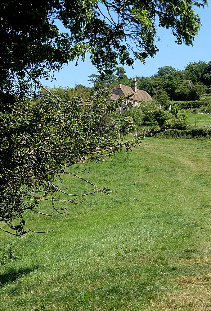
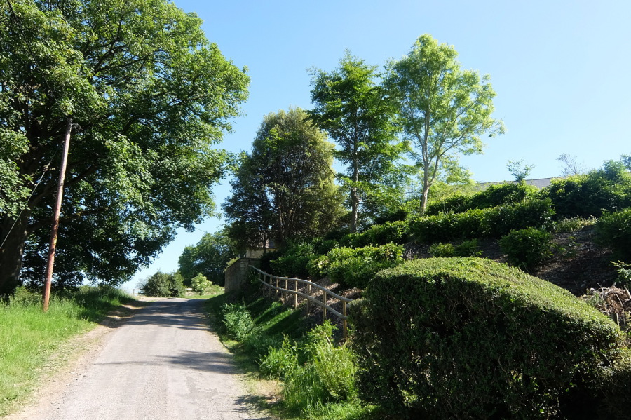
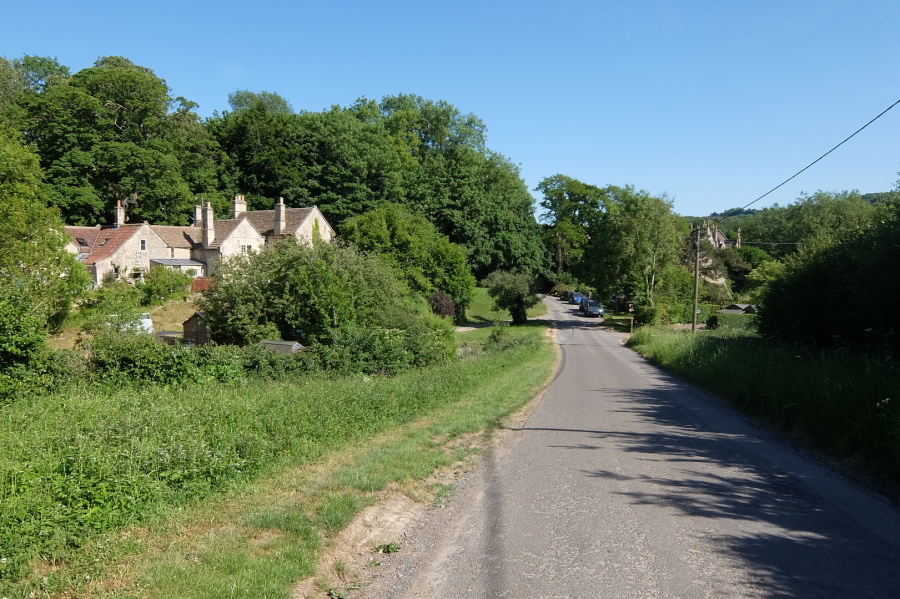
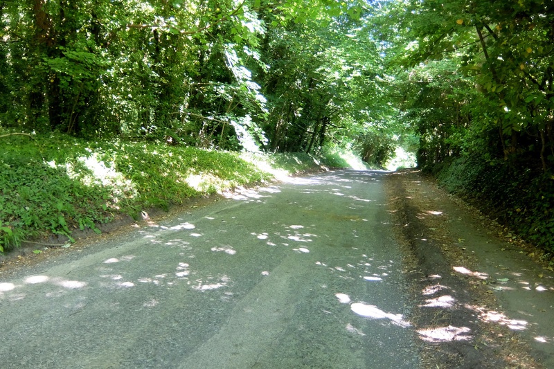
The draw of the valley (By Brook) is irresistible. The intention today (29th May 2020) was to walk to the Three Shires Stones but, as usual, diversions were taken (I have never yet, in forty-five years, managed to get there).
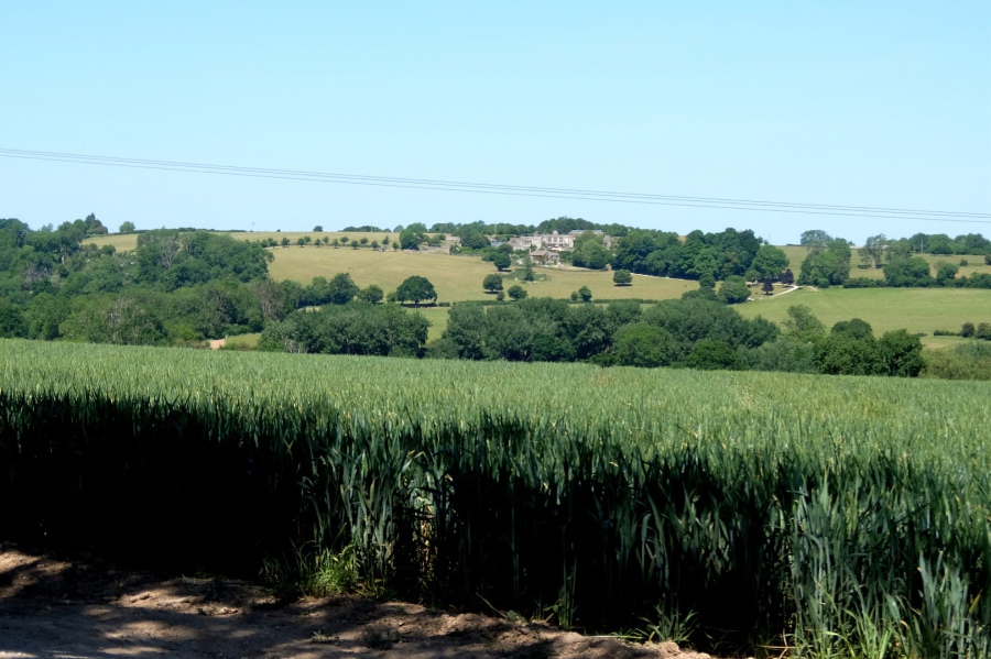
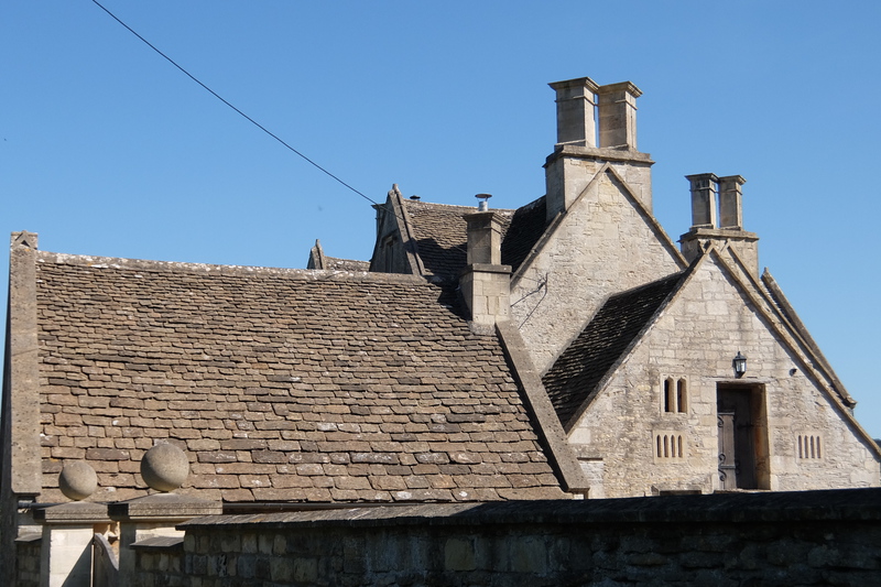
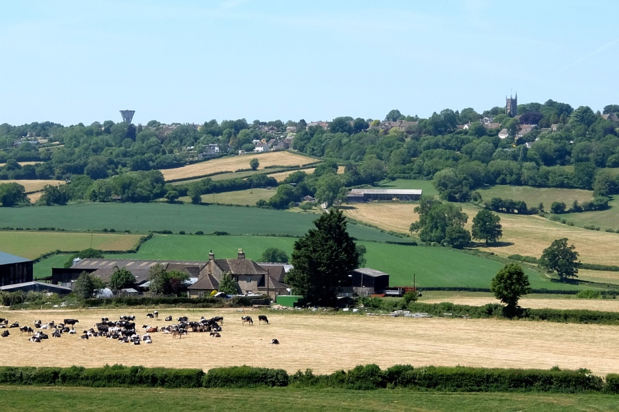 Folly Farm and the cattle are in the field recently cut for silage (but two are feeding on something). The Village on the Hill lies beyond, water tower at left and the church of St John the Baptist at right.
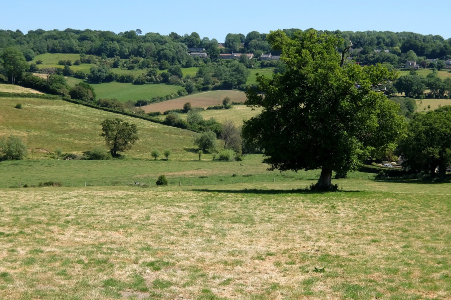
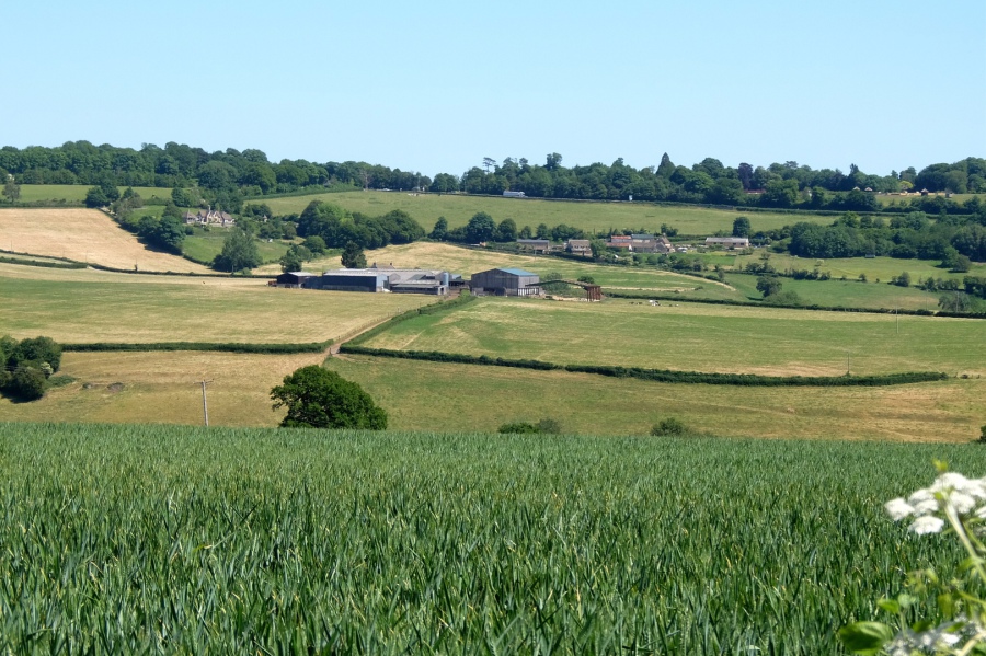
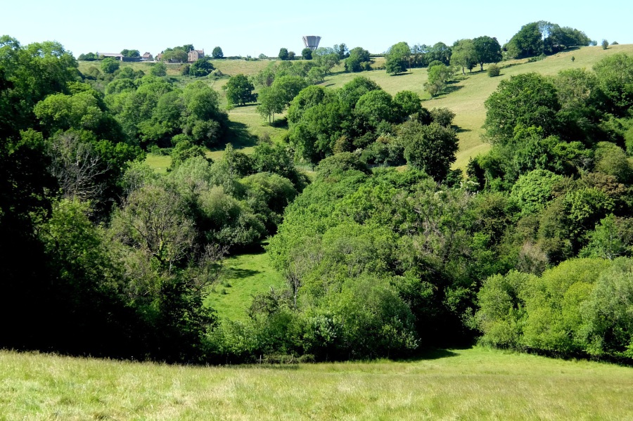
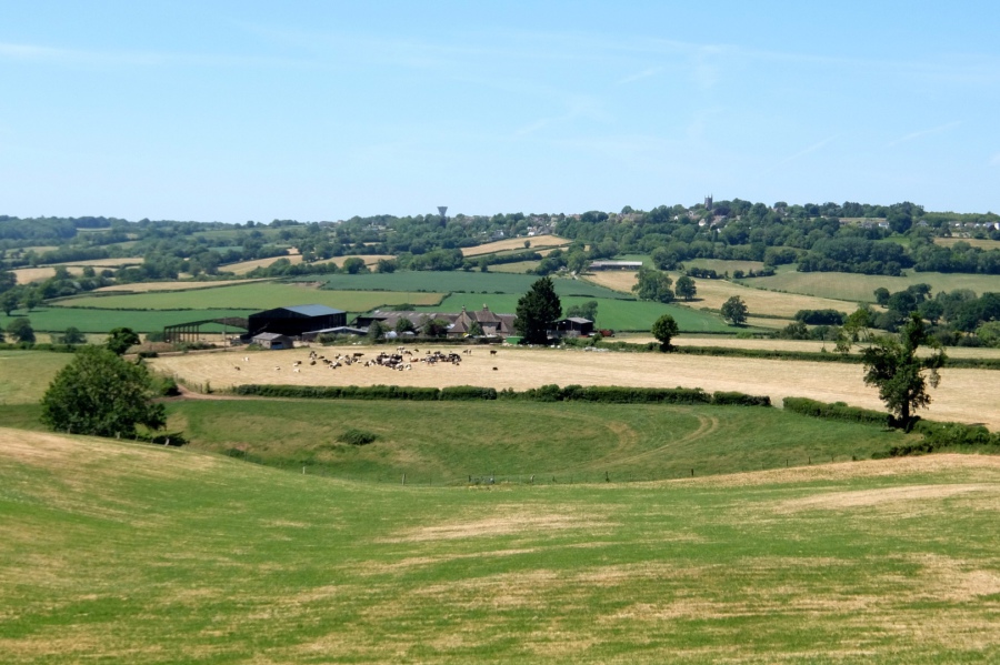 The wider view. We will shortly be heading for Drewett's Mill past the tree in the left foreground.
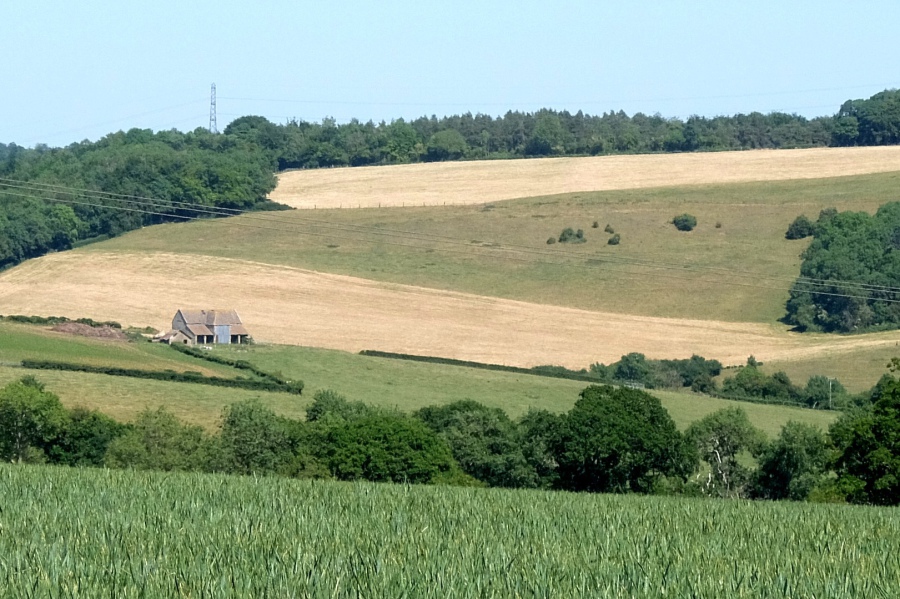
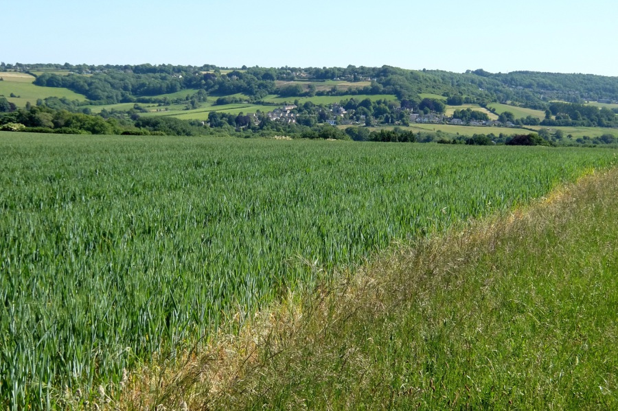
 And an even wider view which now (just about) takes in the Bannerdown escarpment
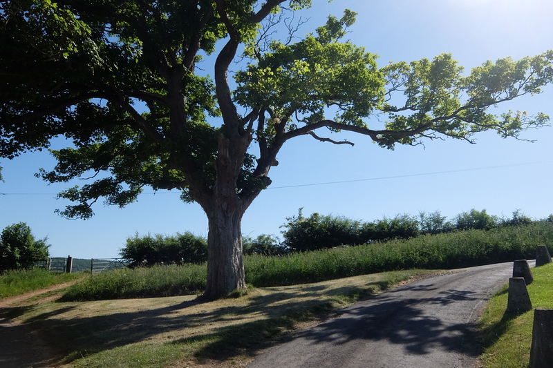
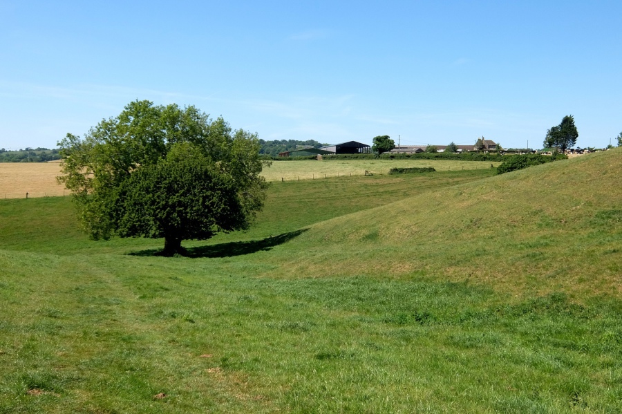 Here we are, by that tree, on right of way BOX20, Folly Farm beyond, turn left at the tree for Drewett's Mill
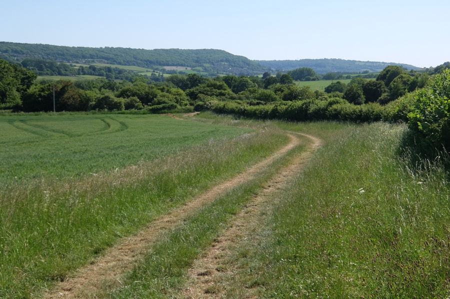
 BOX20 follows the track which passes to the right of the tree and through to the next field - this photo from the same viewpoint as the previous one
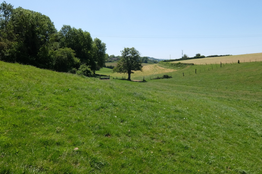
 The right of way follows the line twixt the two 'hills' defined here by darker green at left and lighter green at right
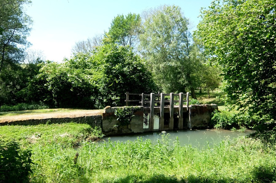 The mill leat at Drewett's Mill, the By Brook is beyond
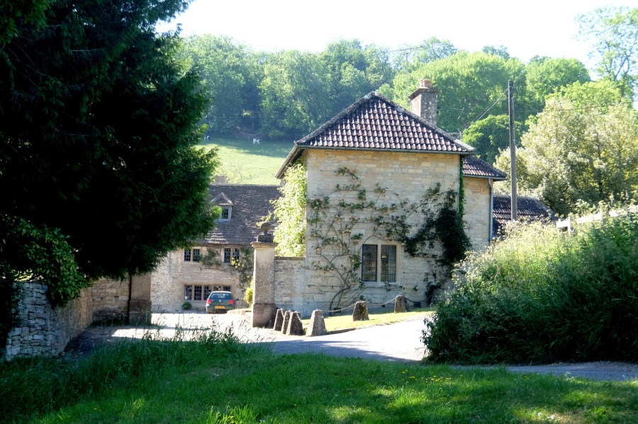
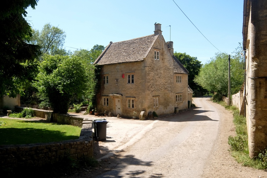 Grade II listed Drewett's Mill House, the mill building (next photo) is at right here
 Grade II Listed Drewett's Mill. According to 'Box People and Places', the mill was recorded in the Domesday Book.
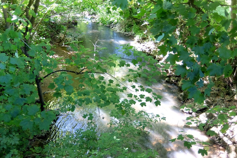
 The By Brook just downstream of Drewett's Mill
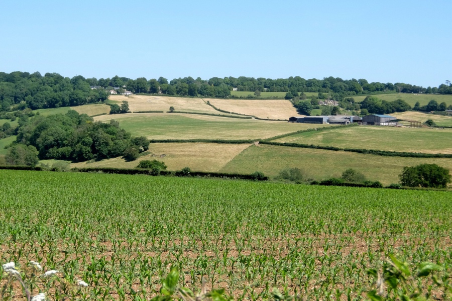
 Now on the long climb to Colerne looking back towards Box Hill in the area of Moon Aircraft and Box Hill Motors
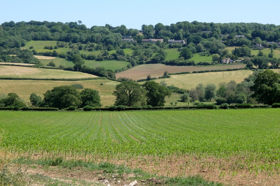 The same area of Box Hill from a different viewpoint higher on the road to Colerne (maize in the foreground field?)
 Moving to the east, this view takes in Folly Farm (centre-right), the Lower Rudloe bungalows in the area of Rudloe Manor (at top-left) and the Lower Rudloe settlement which includes Folly Cottage and Mr T's B&B (above Folly Farm)
On a short break from compiling this page, I overheard a radio DJ mention a call received from a listener who was enjoying the beautiful weather in her garden. Good for her, but in these days of electronic machinery, that enjoyment can be infrequent. The good weather is carte blanche for the noise-makers. This week, one of our neighbours had a company in to make as much noise as possible over three days - hedge trimming, jet washing, even leaf blowing (what is wrong with the good, old-fashioned brush?). Come Friday, that company had departed so I thought we should be okay for a relaxing day in the garden ... then, Jesus, a truck arrived outside our house pulling an industrial shredder and promptly began work at another neighbours house, cutting and shredding. I gave up, abandoning the street to the noise makers, I departed for the countryside ... and so we have this webpage.
 Getting closer to Colerne now, St John's appears above the hedgerows
 And now, the view east across a field of wheat to Euridge Manor (see earlier walk)
 And another view towards Rudloe with, from the left, Folly Cottage, Folly Farm and the Lower Rudloe settlement with, inter alia, Mr T's B&B
 The view east with the barn above Widdenham seen in the earlier (Euridge Manor) walk
 St John's is getting ever closer
 The view to Kingsdown with the hedge-bound Box (Mill Lane) to Colerne (Tutton Hill) road running across centre-picture
 Almost 'there' (Colerne) and blimey this is steep
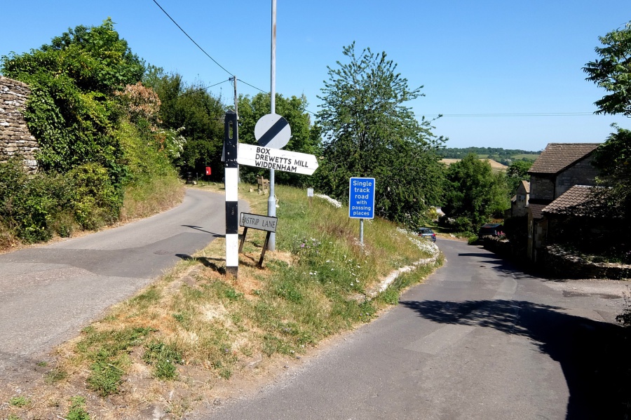 This is the road whence we came; the other road, to the left, leads to Eastrip
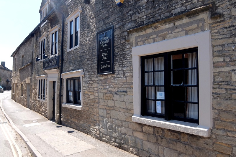
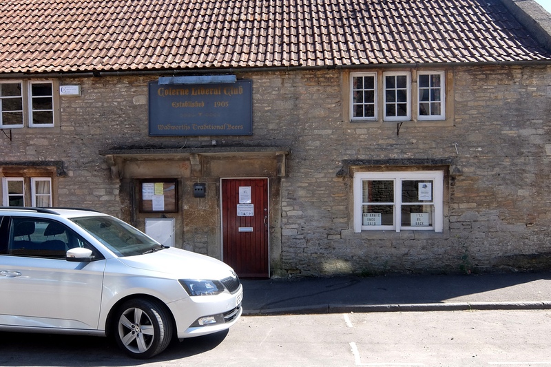
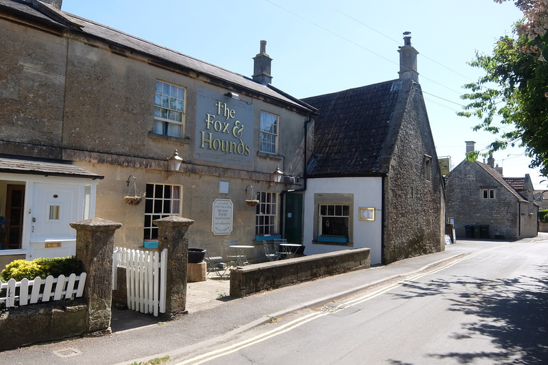
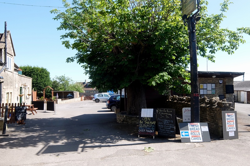
Colerne Interlude ... He'll never get that truckload into that barrow ... The Six Bells all spruced up and waiting for lockdown to end ... The Old Fox and Hounds ... The Liberal Club quoting Arnie ... The new Fox and Hounds and its al fresco frontage ... Plenty on offer at the Fox and Hounds but seems like I'm not welcome.
Click on the icon with inward-facing arrows to see full-page photos.


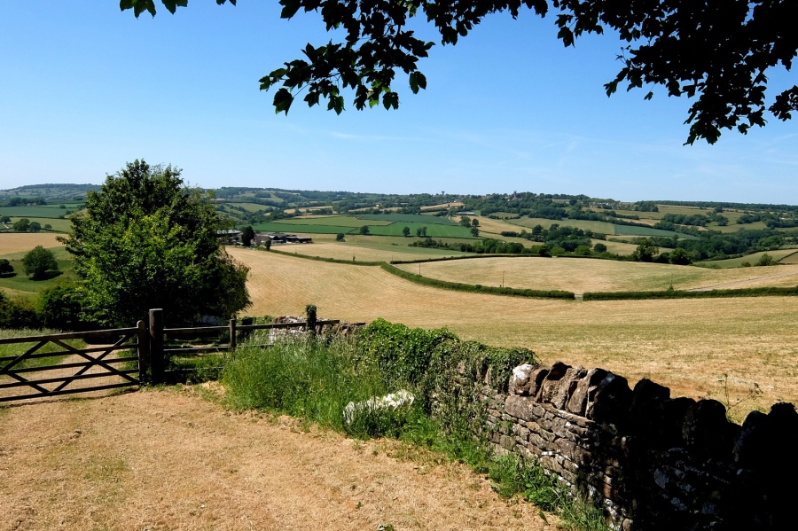
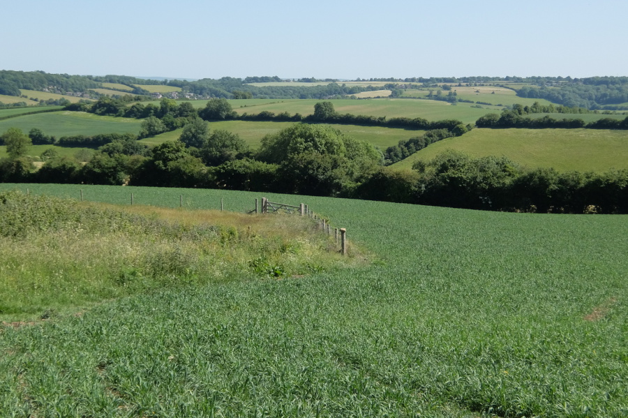
 Now we head away from Colerne towards Alcombe on right of way BOX7. Box lies in the valley and beyond the local ridge running from Quarry Wood to Kingsdown we see the 'blue remembered' outline of Salisbury Plain.
 Moving the frame now, we still see Box and the line of Quarry Hill heading towards Quarry Wood but now with Kingsdown to the south and west
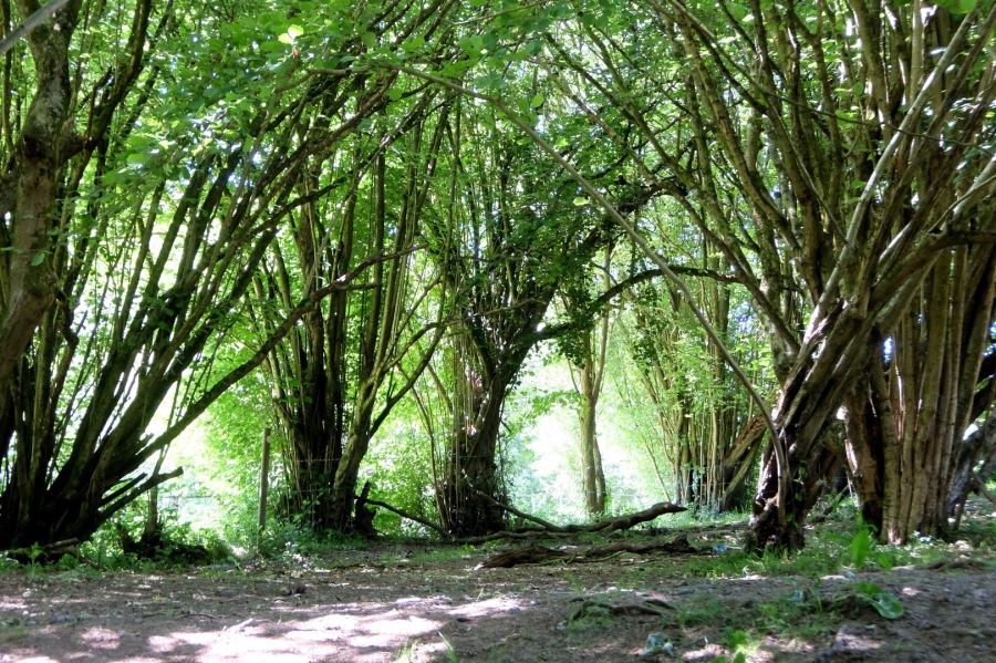 Running down towards the Lid Brook we pass through a former hazel coppice
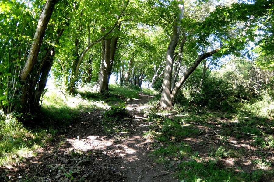 Looking back up BOX7 from the hazel coppice
 And here is the Lid Brook still with some water flowing in spite of another record being broken this year - the driest May ever (following the wettest February and the sunniest April)
 On the south side of the Lid Brook now, looking back from whence we came (Colerne's water tower in picture)
 From the same viewpoint looking east towards Lower Rudloe - Folly Farm may just be seen through the trees and the settlement that includes Mr T's B&B amongst others lies to the south (right)
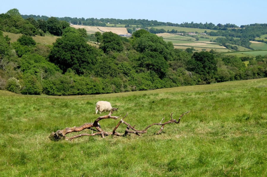
 Ploughing along BOX7 looking towards Kingsdown and its scattered settlements; Ashley is in the valley below
 It's often useful to look back (maybe not in this case) - here's the path (BOX7) just trodden
 In the last 'wide' view before we reach Alcombe, we see Farleigh Down with its escarpment below Bathford Hill at centre picture and beyond that, to the west (right), lies Bathampton Down
 Looking back! We emerged from the hedgerow on t'other side of the Ditteridge-Fosse Way road (hidden) and now we're on the Alcombe road.
 An American (Esso!) gas pipeline lies beneath our feet. Release Britain's potential - take back control.
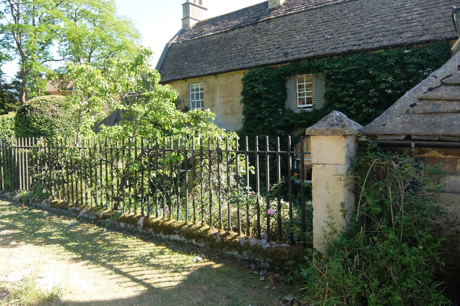
 Alcombe Manor - a modest pied-a-terre. The owners kindly gave Box NATS a guided tour last summer.
 On the road to Middlehill (or Upper Shockerwick if we turn right ahead)
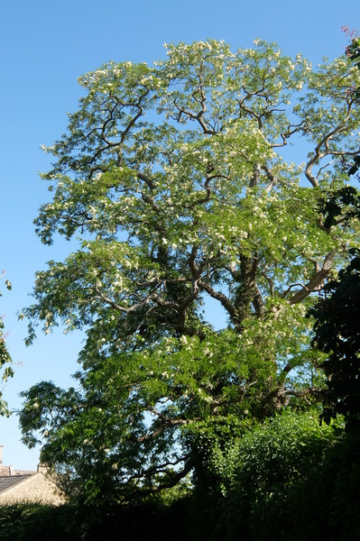
Trees and buildings (and elements) on the Alcombe-Middlehill Road including an acacia, an old sycamore in the triangle at the junction with the Upper Shockerwick Road, chimneys of Coles Farm (possibly?), a fine old double-gabled house (Coles Farm?) and an unusual buttress. Click on the icon with inward-facing arrows below to see full-page versions of these images.

 Approaching Middlehill
 Toad Hall at Middlehill where, apparently, Hayley Mills once lived
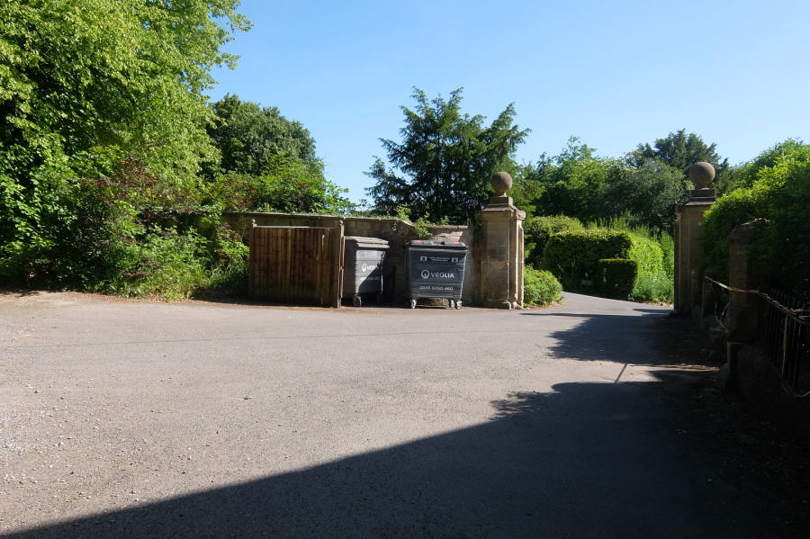 Veolia dumpsters at By Brook House; Veolia is, of course, French. Release Britain's potential, take back control? It's too bloody late mateys, you sold off our infrastructure and all you give us now is empty slogans, bluff and bluster.
Three images of Middlehill in the gallery below including a magnificent lime and a view of the By Brook (click on icon with inward-facing arrows for full-page images)
 The last word and the final straw, even our native vegetation is being displaced - the invasive Himalayan balsam lines the Ditteridge road