Welcome to the Rudloe and environs website.
Here you will find news, articles and photos of an area that straddles the Cotswold Area of Outstanding Natural Beauty in north-west Wiltshire.
Contributions in the form of articles or photos are welcome. Even those with completely contrary views to mine!
Thanks to the website builder 1&1 and Rob Brown for the original idea.
Rudloescene now, in January 2014, has a sister, academic rather than anarchic, website about Box history here: http://www.boxpeopleandplaces.co.uk/
It contains thoroughly professional, well-researched articles about Box and its people.
Contact rudloescene through the 'Contact' page.
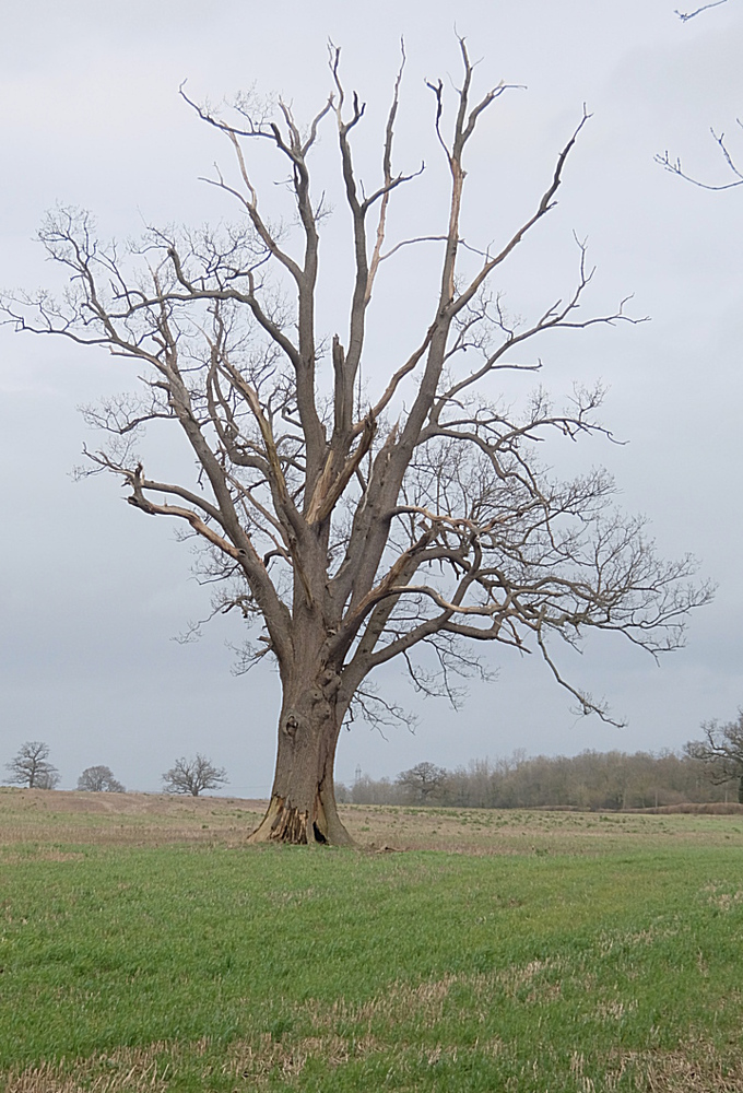
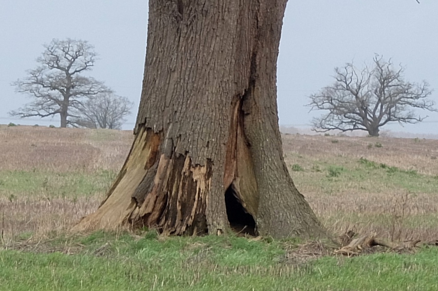
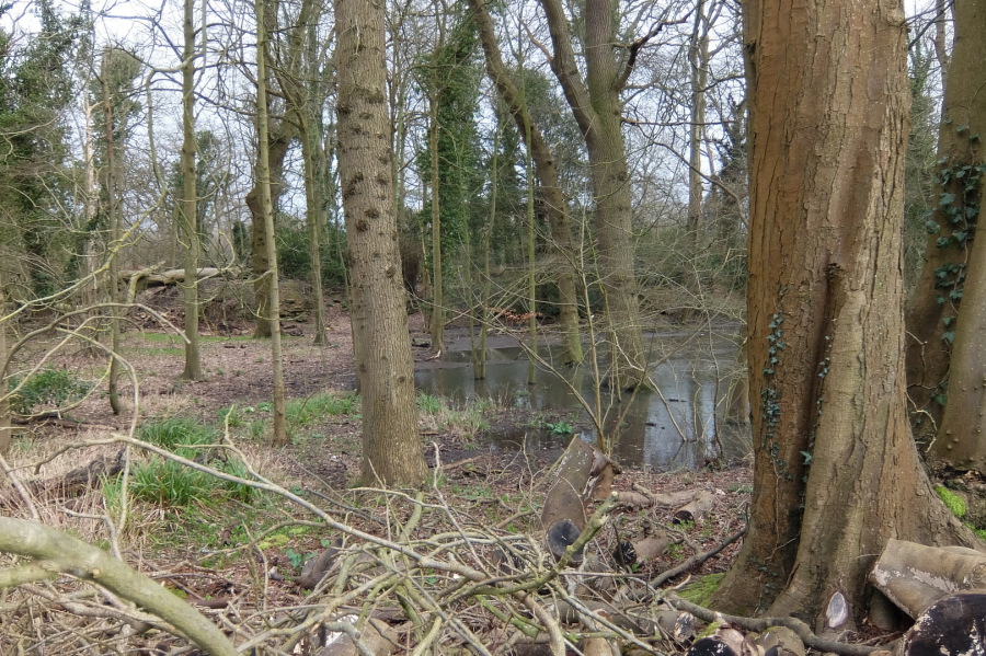
Trees and ponds - February 2020. The trees (and pond) in the title photos are in the field twixt the Cross Keys and the lane that leads to Sheldon Corner then on to the A420 at Allington Farm Shop. The land, as with all the other land on either side of the A4 to the north and east of Corsham is owned by the Methuen Estate. This field is tenanted to Stowell Farm. The 'dead' tree bit the dust during storm Eunice in February 2022.
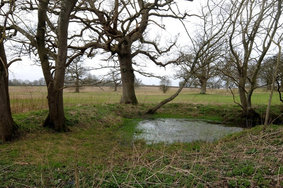 Here is the title photograph pond again in landscape view looking north - 21st February 2020
 And here is the title photograph tree (an oak) in landscape mode with two oaks (probably) beyond. This tree succumbed to the winds of storm Eunice in February 2022.
 A wider view of the trees surrounding that pond with an oak to the left (west)
 Ivy-clad oaks by the roadside on the country route to Sheldon Corner and the A420
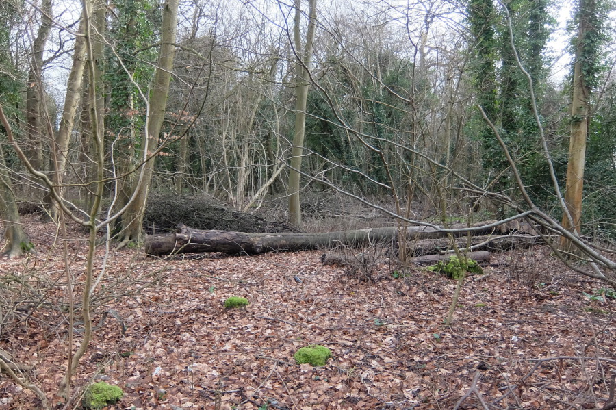
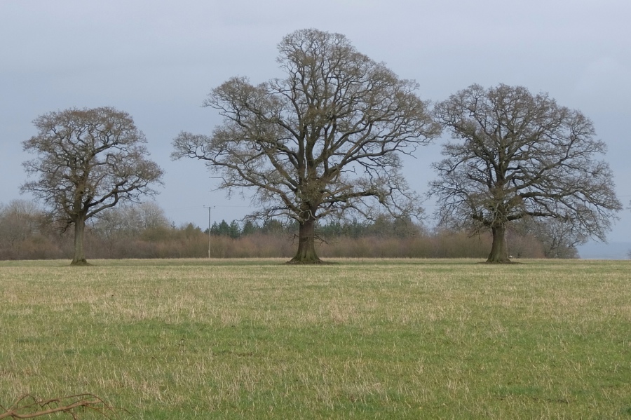 Three oaks in the field to the east of the lane to Sheldon Corner. This field is both owned and farmed by the Methuen Estate.
 A wider view of the three oaks
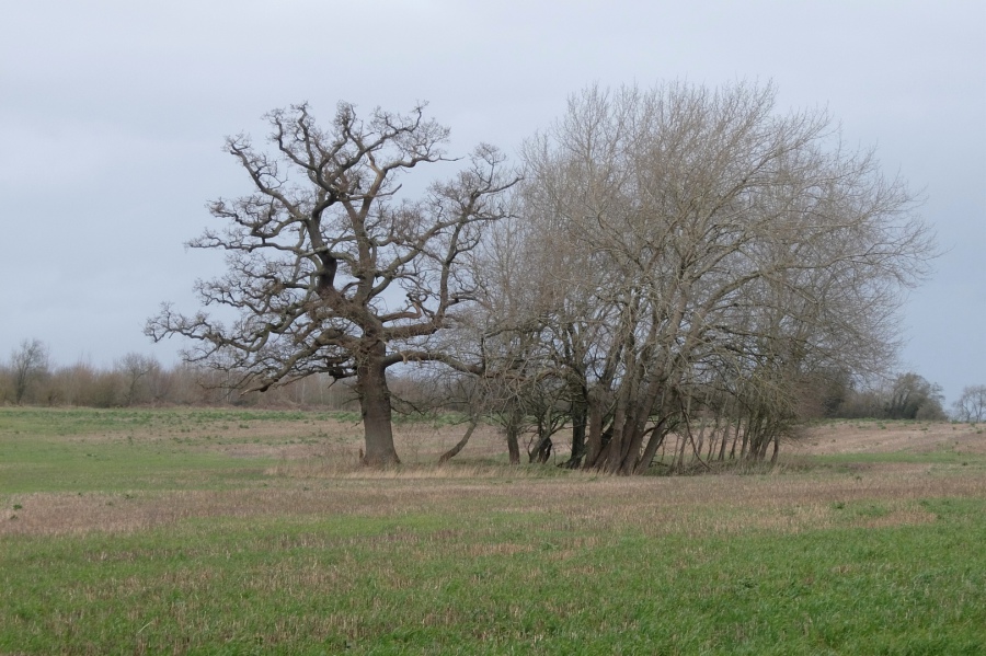
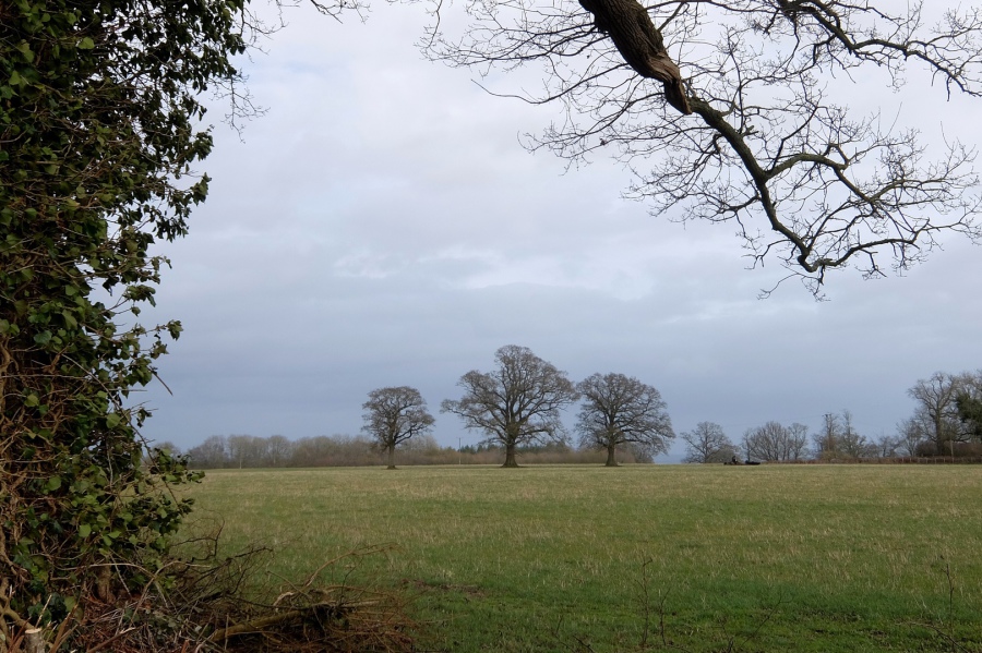
 A group of relatively young trees in the same field possibly surrounding a pond; A4 behind (white van) - 21st February 2020
 Pond adjacent to the A4 to the east of the new £374,000 Cross Keys junction (I didn't need to use the pelican crossing - it's easy to cross here)
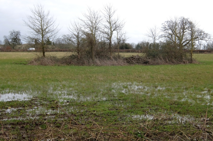
 This is the western boundary of Corsham Park adjacent to Cross Keys Road (look over the dry stone wall opposite Bences Lane)
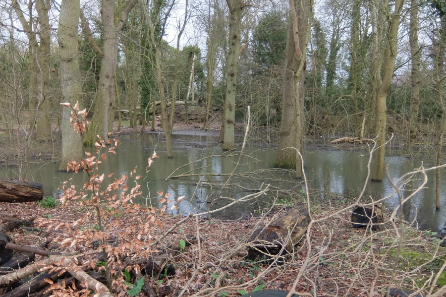
 Another view of the marshland at the western boundary of Corsham Park; sycamore in the foreground


 And yet another view of the western boundary of Corsham Park (over the dry stone wall)
As a lad, I used to walk and cycle through the lanes to the west of Chippenham (and east of Corsham). The estates to the west of the A420 end of Hungerdown Lane were just going up but it was still a country lane with, from the A420 end: a high hedge to the west (with the new estates behind), prefab estates to the east (with Sutton's shop), a brick farmhouse and orchard where the Kingfisher now stands, Frogwell Hospital beyond the farmhouse, a 'dip' in the road where Ladyfield Brook ran (and still does) with the scout hut adjacent to it, Chippenham United football ground in the area of (now) Queens Crescent, and opposite, an area of waste ground where there was previously a prefab estate (and where, during the summer holiday period, an all-night touring caravan was located supplying beverages to the holidaymakers using what was then the major route from the Midlands to the Bournemouth/Poole area) but, to the point ... the lanes beyond all this to the west (twixt Chippenham and Corsham) were quiet, nature-filled and free of litter - look at them (the Corsham end of 'Sheldon Corner Lane') now ...


 Returning to Corsham, in the alleyway twixt The Laggar (Bences Lane) and Priory Street, we find a garden hedge gone up in flames!