Welcome to the Rudloe and environs website.
Here you will find news, articles and photos of an area that straddles the Cotswold Area of Outstanding Natural Beauty in north-west Wiltshire.
Contributions in the form of articles or photos are welcome. Even those with completely contrary views to mine!
Thanks to the website builder 1&1 and Rob Brown for the original idea.
Rudloescene now, in January 2014, has a sister, academic rather than anarchic, website about Box history here: http://www.boxpeopleandplaces.co.uk/
It contains thoroughly professional, well-researched articles about Box and its people.
Contact rudloescene through the 'Contact' page.
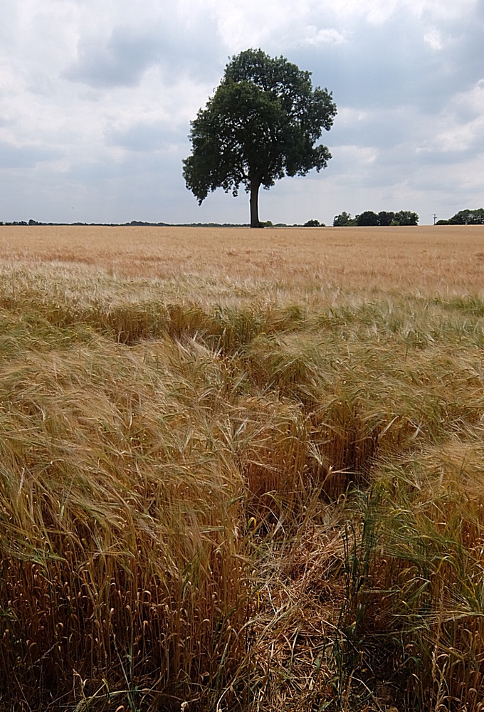
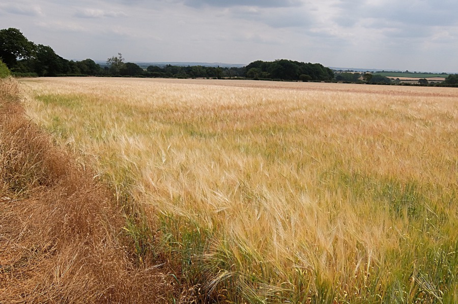
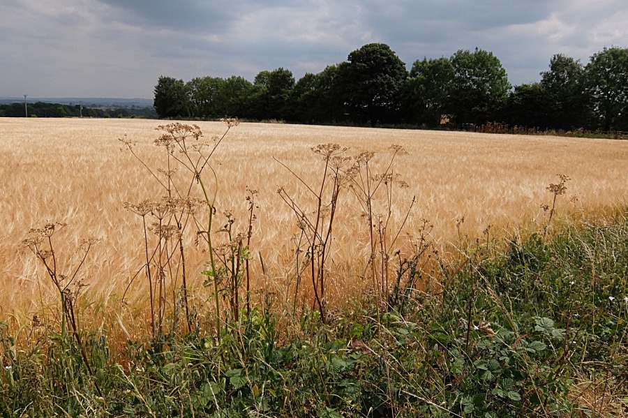
Barley twixt Monkton Farleigh and Farleigh Wick on 20th July 2018
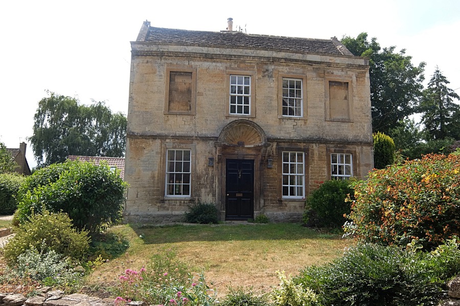 The (former?) rectory of St Peter's, Monkton Farleigh
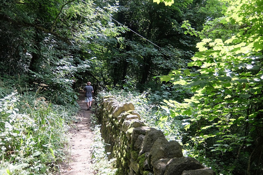
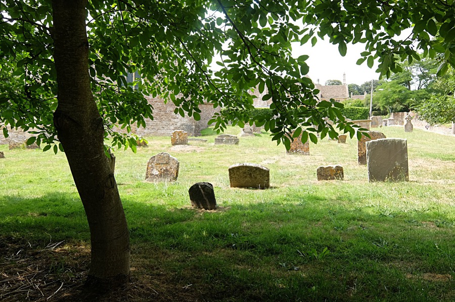 Heading off for Farleigh Wick and Warleigh down the byway that runs adjacent to St Peter's graveyard
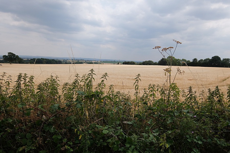
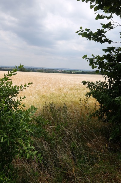
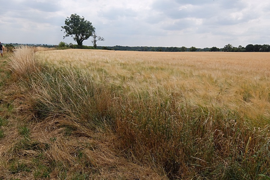 One of many barley fields twixt Monkton Farleigh and Farleigh Wick
 Barley at Monkton Farleigh and the view across the Clay Vale to Salisbury Plain
 A 'landmark' tree, possibly an oak, in the barley field
 The view to Salisbury Plain from the Farleigh Wick road
 The Farleigh Wick road; the view to Salisbury Plain and a wooden gibbet-type construction at the entrance to Monkton Farleigh
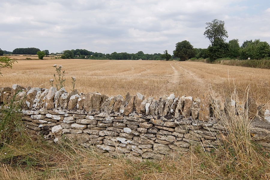
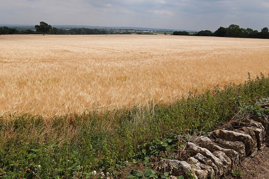 On the Farleigh Wick road; a dry stone wall, field margin, barley, the view to Salisbury Plain and that landmark tree in the distance
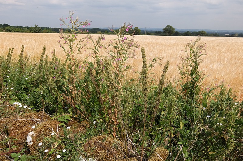
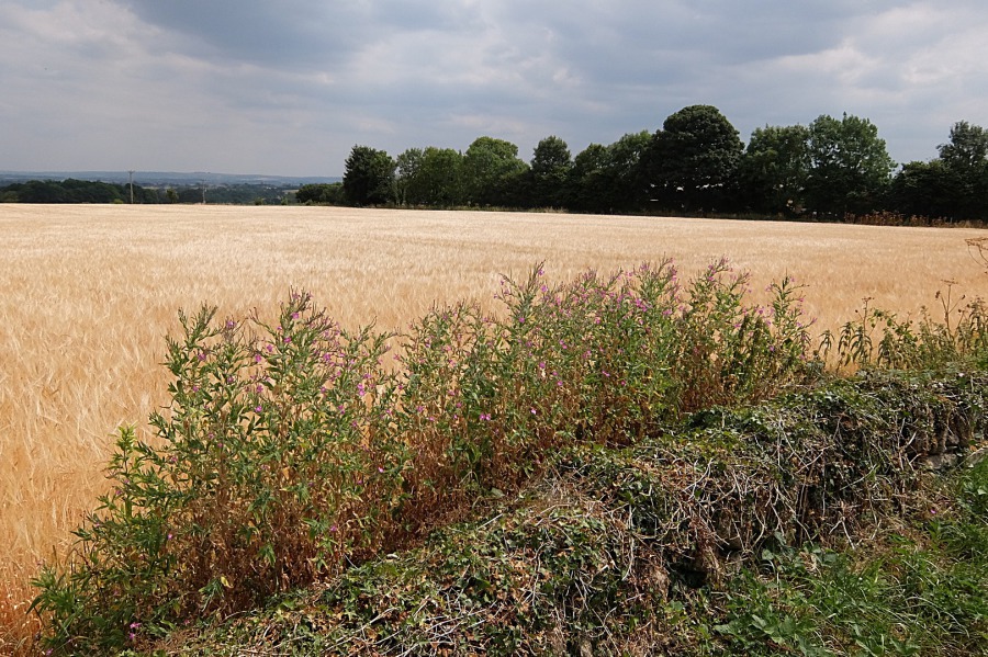 Great willowherb (Epilobium hirsutum - what a nerd) in the Farleigh Wick field margin
 Some apiaceae (formerly umbelliferae) or other (possibly hogweed?) in the Farleigh Wick road field margin
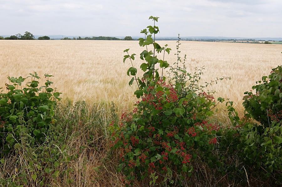 A guelder rose (Viburnum opulus) in the Farleigh Wick road field margin; Salisbury Plain beyond
 Now looking across the Farleigh Wick road to the woods at the southern end of Bathford Hill (Browne's Folly woods)
 Looking back towards Monkton Farleigh from Farleigh Wick across a field of cut barley (I suppose)
 Again looking back from Farleigh Wick towards Monkton Farleigh across the barley stubble
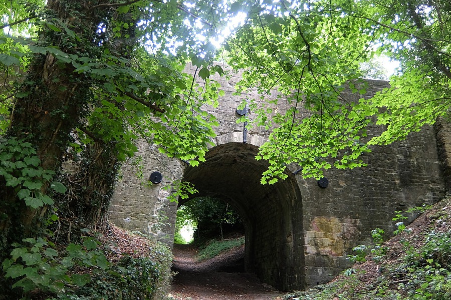
 The 'dry arch' which carries the A363 over our byway at Sally in the Wood, Farleigh Wick
 The western, Warleigh, side of the dry arch
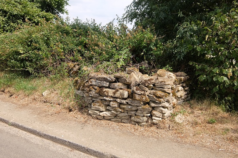
 The Cotswold Voluntary Wardens have been at work here rebuilding this substantial dry stone wall just to the west of the dry arch
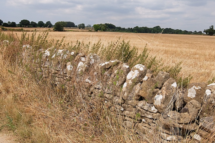
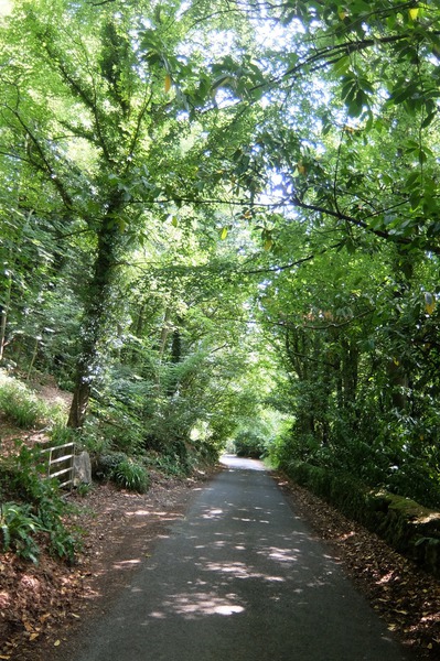
 The fine dry stone wall continues for quite a way along the byway which leads to Warleigh Lane
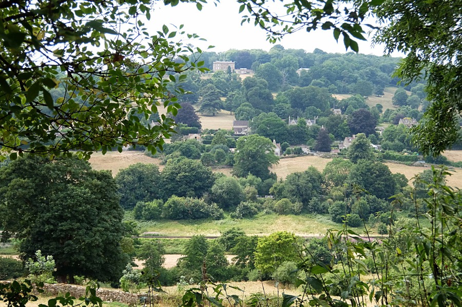 Claverton village with the American Museum above from Warleigh Lane; the railway can be seen in the foreground
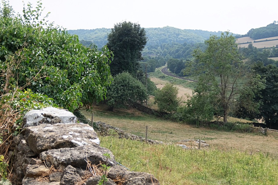 The railway curves around the eastern escarpment of Bathampton Down with its next 'stop' at Freshford
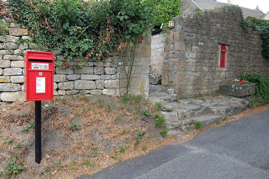 In Warleigh Lane, the original 'VR' postbox has, unaccountably, been replaced by the 'ER' box on a pole
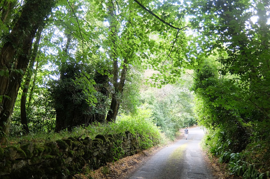 In the cool of Warleigh Lane heading towards Bathford
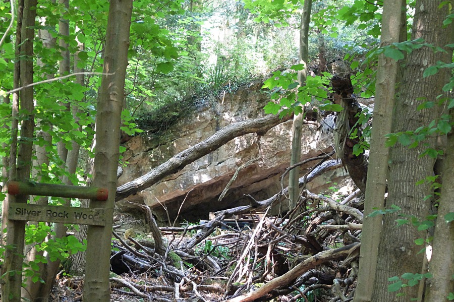 I wonder if this is the 'silver rock'? This enormous wedge of limestone seems, in the distant past, to have become displaced in Warleigh Woods.
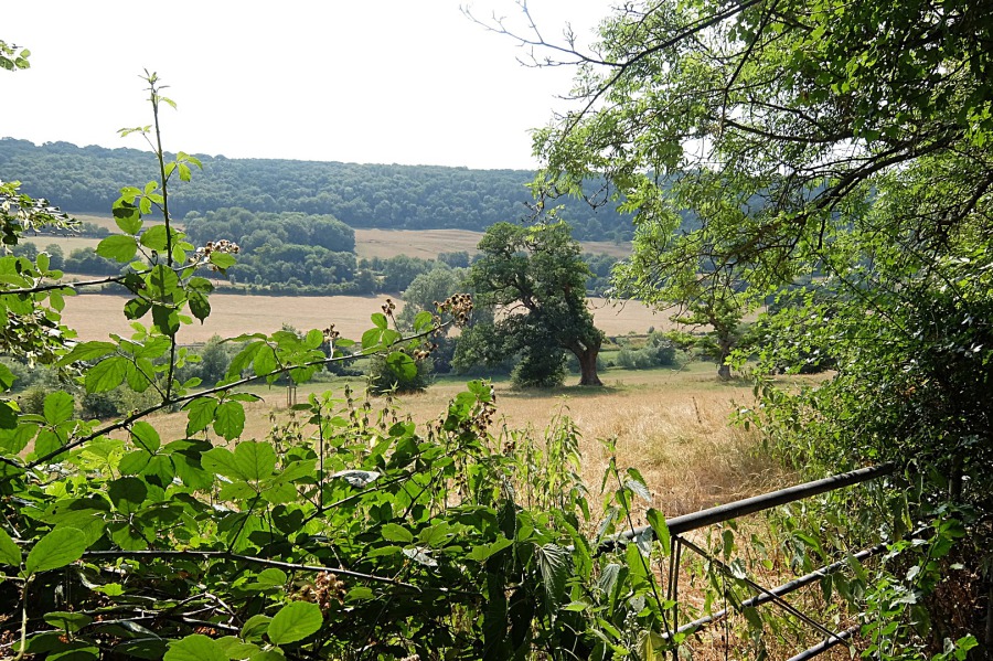 Bathampton Down and the Limpley Stoke Valley from Warleigh Lane
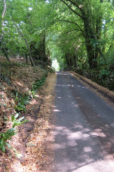
 Warleigh Lane becomes 'half sunken' as it approaches the A363 Bathford to Bradford-on-Avon road
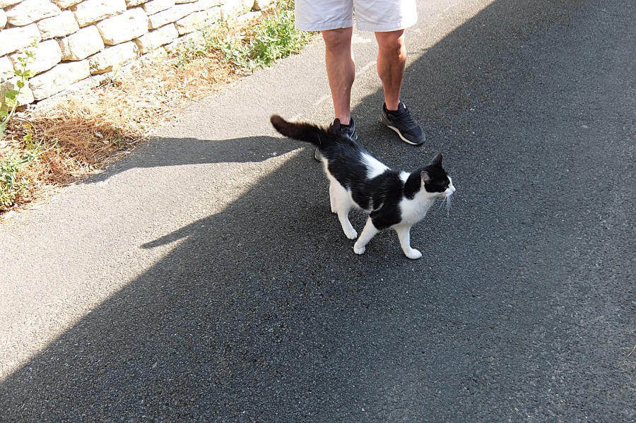 A very friendly, long-tailed moggie in Pump Lane, Bathford
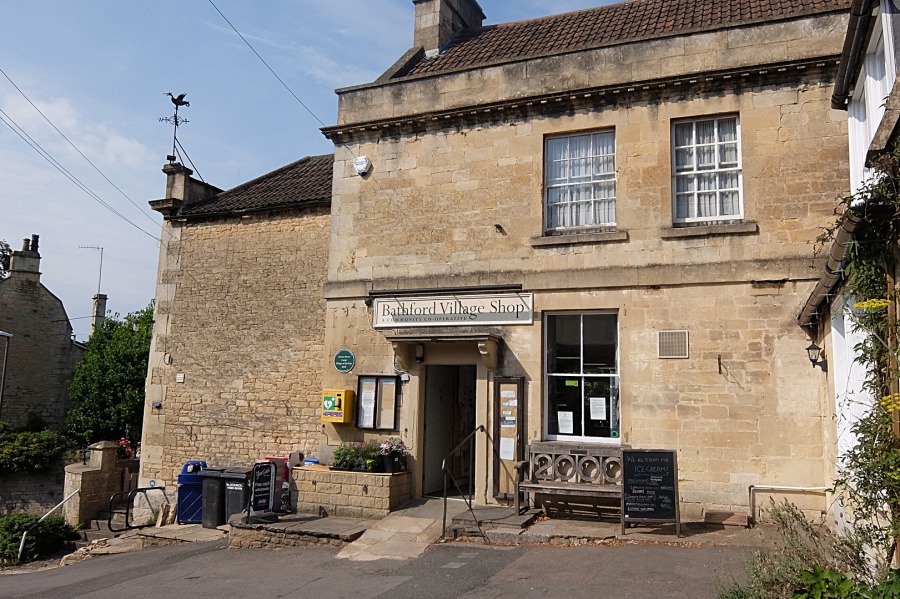 Drinks and an ice cream before the 25% climb back up to Monkton Farleigh


