Welcome to the Rudloe and environs website.
Here you will find news, articles and photos of an area that straddles the Cotswold Area of Outstanding Natural Beauty in north-west Wiltshire.
Contributions in the form of articles or photos are welcome. Even those with completely contrary views to mine!
Thanks to the website builder 1&1 and Rob Brown for the original idea.
Rudloescene now, in January 2014, has a sister, academic rather than anarchic, website about Box history here: http://www.boxpeopleandplaces.co.uk/
It contains thoroughly professional, well-researched articles about Box and its people.
Contact rudloescene through the 'Contact' page.
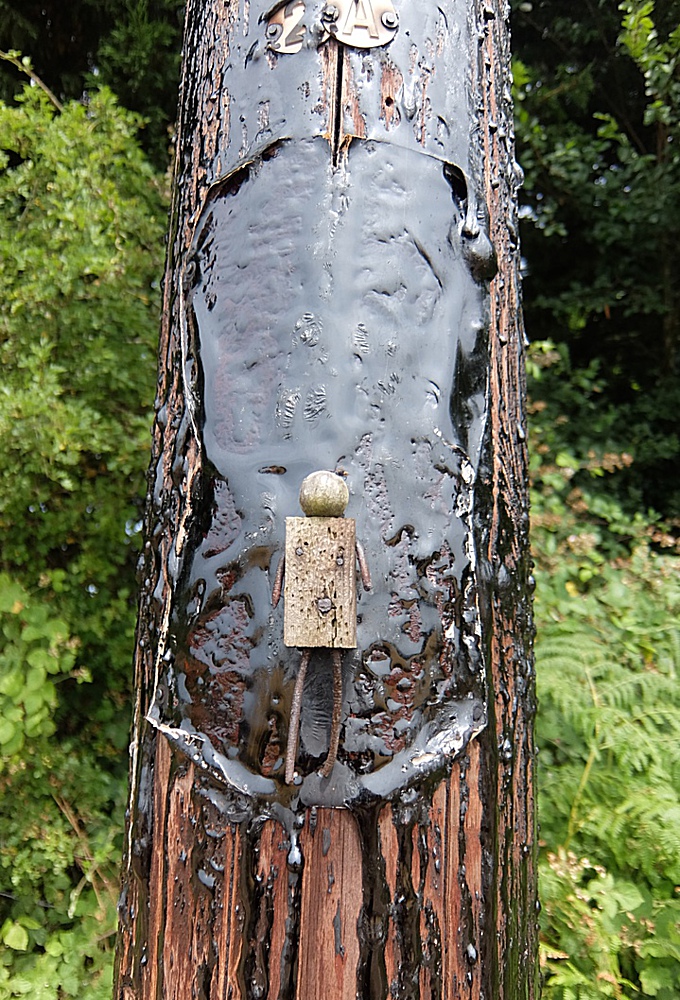
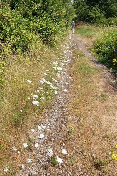
19th July 2018 on the byway twixt Monkton Farleigh and Browne's Folly. The hot summer has seen tar exuding from telegraph poles and railway sleepers. Here it forms a backdrop to a wood and nail dolly that has been attached to a telegraph pole.
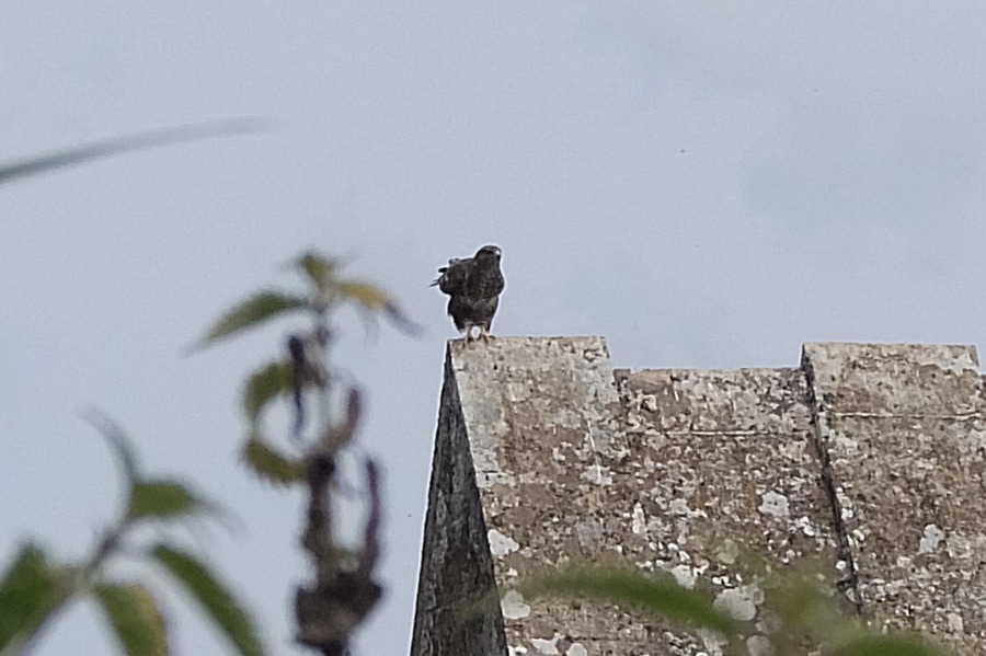 Leaving Monkton Farleigh for Farleigh Rise we spotted this buzzard on the listed stone hut to the east of the road
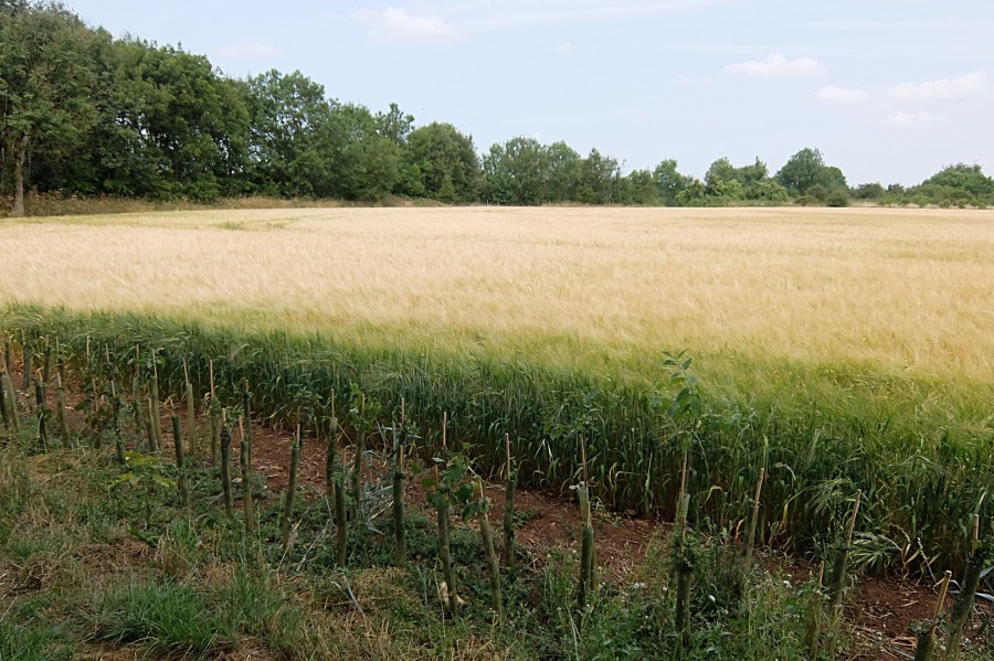
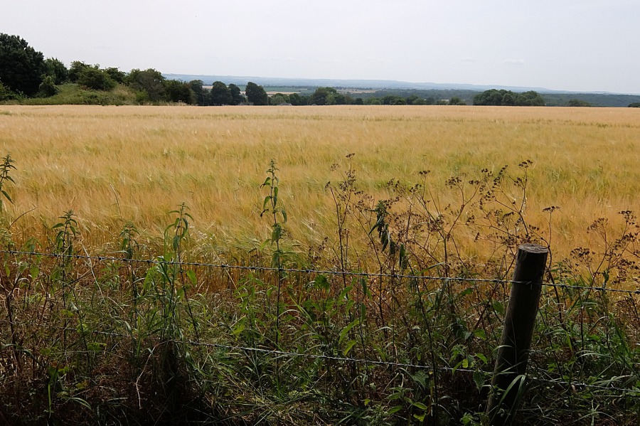 The view south, across a barley field, to Salisbury Plain from right of way MFAR24 twixt Monkton Farleigh and Browne's Folly
 Another view south across the barley field from MFAR24
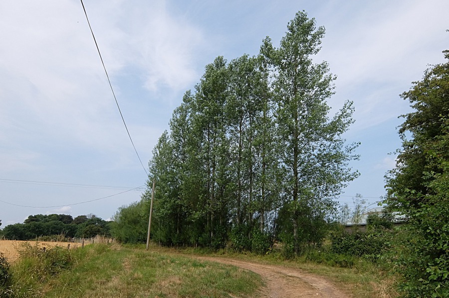 A line of poplars by the byway
 More barley, this in a field to the north of the byway and close to Browne's Folly Wood (Bathford Hill)
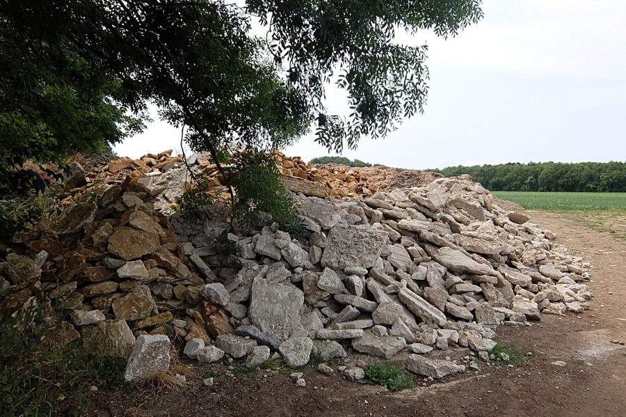 Ash and stone by the byway
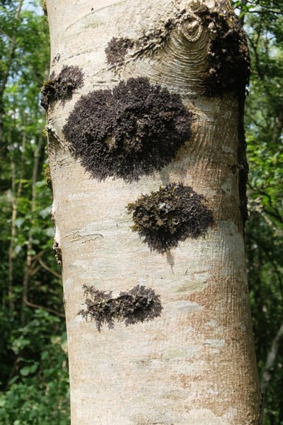
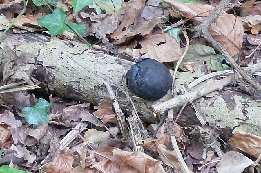 One of King Alfred's cakes on a decaying branch in Browne's Folly woodland
 One of many examples of waste coppiced material lying in the woodland
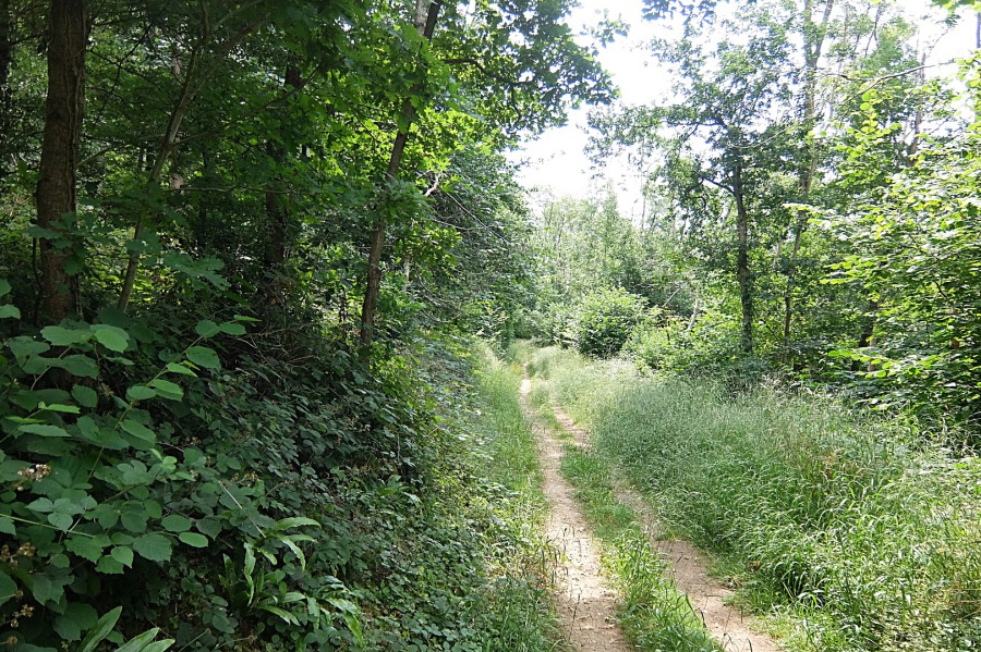 One of the more 'open' pathways through Browne's Folly woodland
 The high road or the low road? We took the high road.
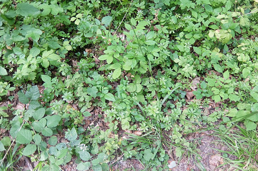 Woodruff on the woodland floor. Traditionally called sweet woodruff ... dried bunches were hung in wardrobes and laid amongst stored linen. In Georgian times, it was used in pocket watches for its fragrance when telling the time.
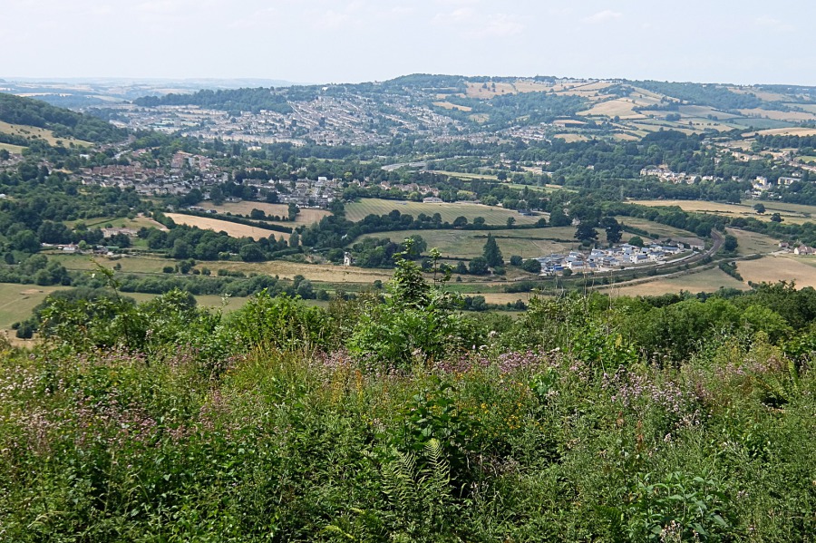
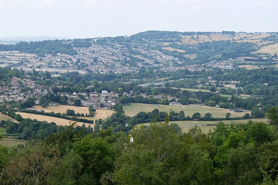 The northern slopes of Bath and Lansdown from Bathford Hill. The substantial green field at centre/right is King Edward's School's playing field/cricket pitch bounded, at right and 'in front', by the Kennet & Avon Canal

 The northern slopes and Lansdown again with the foot of Bathampton Down at left. The new development 'blot on the landscape' at centre-right is at the end of Tyning Road, Bathampton - not an easily accessible location.
 This is the view the other way from the Kennet & Avon Canal, adjacent to King Edward's playing fields, to Bathford Hill and Browne's Folly
 A wider view showing from left, the foot of Bathampton Down, the northern slopes and Lansdown, and Solsbury Hill with Batheaston beneath
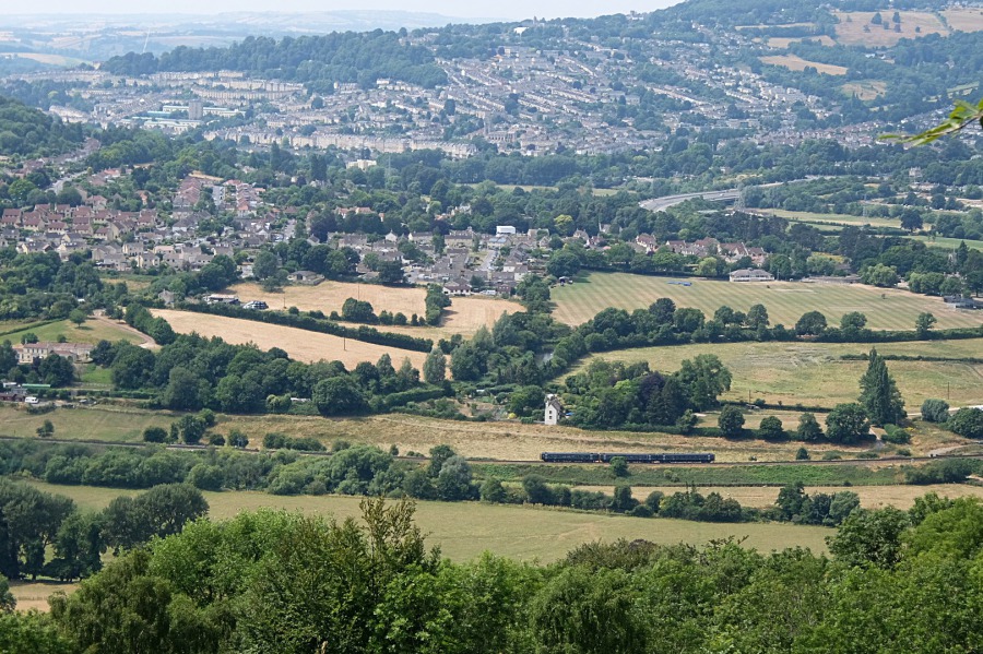 A three-car train leaves the Limpley Stoke Valley heading for Bathampton Junction with, probably, a Portsmouth to Cardiff train
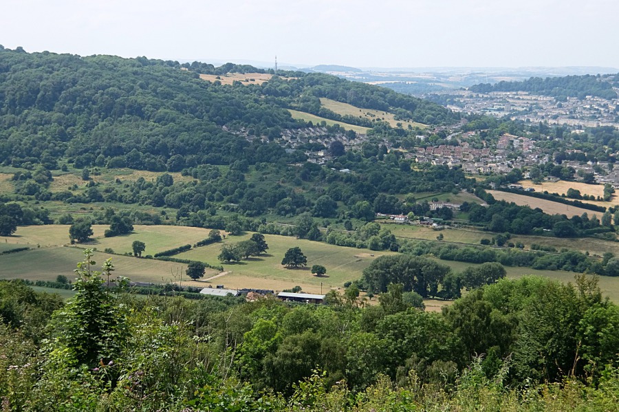 Bathampton Down with Bathampton 'village' at its foot. The river Avon, the Kennet & Avon Canal and the railway run through the valley below.
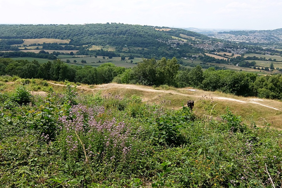 A more extensive view of Bathampton Down. In the foreground we have a knot of marjoram with a mountain bike trail beyond.
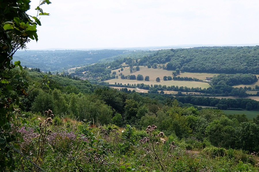 Marjoram still in the foreground in this view down the Limpley Stoke Valley; Claverton village can just be seen over the trees at centre-left
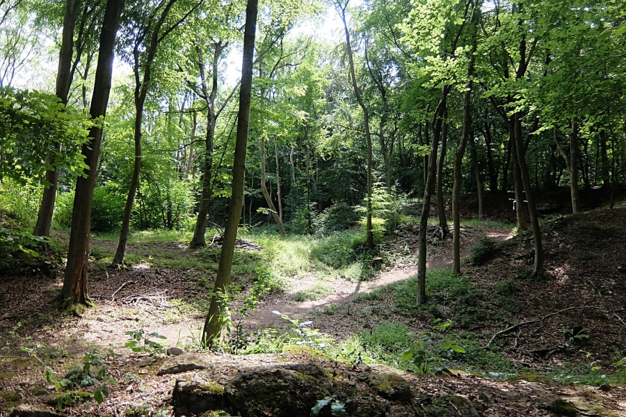 A glade of sorts with quite a number of young beeches
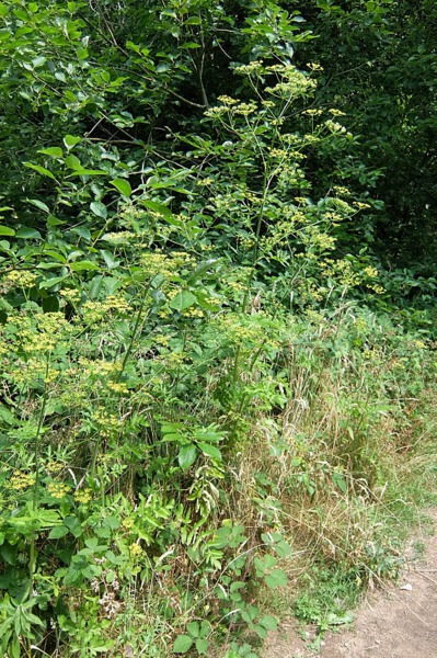
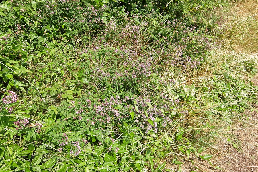 Marjoram by the pathway to Farleigh Rise
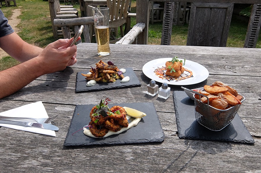 A light lunch - a couple of shandies, three starters (halloumi, whitebait and calamari) and a basket of chips at the Kings Arms, Monkton Farleigh